Mae Ngao National Park
Mae Ngao National Park
RXWG+CPM, Mae Suat, Sop Moei, Province de Mae Hong Son 58110, Thaïlande
An uncrowded national park in northwestern Thailand, Mae Ngao combines rafting on the Ngao River, waterfalls, caves, and Karen villages accessible on foot.
The Mae Ngao National Park stretches across forested hills in Mae Hong Son district, in northwestern Thailand. Less visited than neighboring parks, it combines a river suitable for rafting, multi-tiered waterfalls, caves, and Karen villages accessible along the Ngao River.
Why visit Mae Ngao National Park
The park stands out for three elements rarely found together in the same protected area of northern Thailand: a navigable river suited to bamboo raft descent, several waterfalls accessible on foot at varying difficulty levels, and the presence of Karen villages offering homestays. The entire experience unfolds at a leisurely pace over several days in an environment where tourist numbers remain low.
The territory spans a mix of deciduous dipterocarp forests, broadleaf forests, and evergreen forests. Observable wildlife includes squirrels, red foxes, arboreal primates, several species of large raptors, and numerous forest birds, particularly audible near waterfalls.
What to see and do
Rafting and navigation on the Ngao River
The Ngao River is the park's main activity. Depending on the season and water level, the raft descent alternates between calm sections and more technical passages. Several riverside villages serve as launch points or stops, and it's possible to combine navigation with an overnight stay in a local home.
The waterfall trail
Ol Ogro Waterfall: the park's highest cascade, approximately 150 meters according to local sources (verify on-site). It sits in the heart of a Karen village and requires about three days of hiking round-trip to reach. Reserved for experienced hikers accompanied by a local guide.
Mae La-Or Waterfall: easily accessible from the Mae Sariang road via a trail of approximately 400 meters. Suited to a short visit or picnic stop.
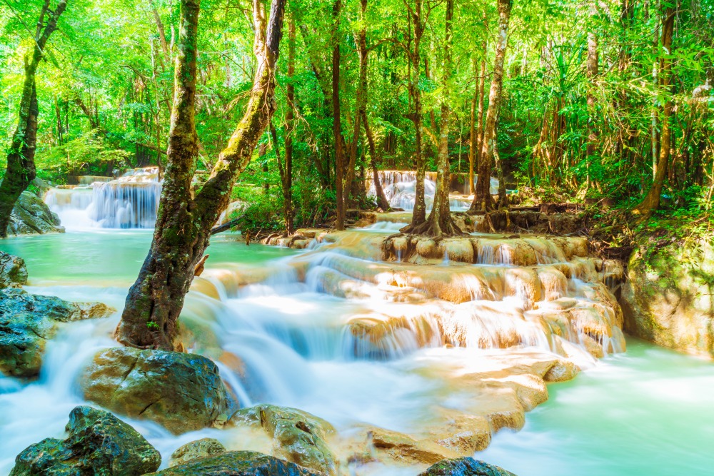
Mae Wa-Luang Waterfall: a multi-tiered cascade located in Ban Mae Wa-Luang village. The trail starts from the visitor center and passes through lush vegetation frequented by many birds.
Tham La Cave (Fish Cave)
Located at Ban Umlow, near the Ngao River, Tham La Cave houses an interior pond inhabited by fish, which earned it the local nickname Fish Cave. The visit is brief and rounds out well a day spent on the river.
Karen villages and homestays
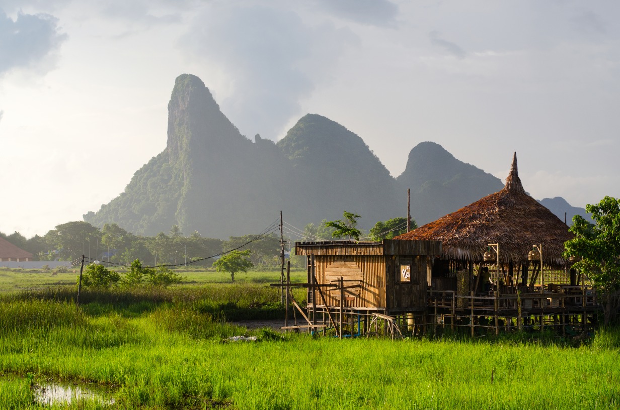
Several Karen villages dot the Ngao River, with traditional wooden cabins. Some households offer simple accommodation to visitors. This option extends your stay over two or three days and combines hiking, navigation, and meetings with locals. It is recommended to arrange these stops through a local guide or agency, both for logistics and to respect community customs.
Practical information
Location: Mae Hong Son district, in the province of the same name, northwestern Thailand.
Recommended visit duration: from one day for accessible waterfalls to 2–3 days to combine rafting, hiking to Ol Ogro, and overnight stays in Karen villages.
Equipment: hiking boots, warm clothing for cool evenings, insect protection, cash (few ATMs in the area).
Guidance: a local guide is useful for longer hikes and strongly recommended for river sections with higher water flow.
When to visit
The most favorable period extends from November to February. Temperatures are moderate during the day and cool in the evening, making hiking more comfortable and limiting rainfall. The rainy season (June to October) increases the Ngao River's flow but complicates access to remote trails. March to May sees temperatures rise and visibility diminish across northern Thailand due to agricultural fires.
How to get there
The park lies off major routes. Two main itineraries are used:
From Mae Sariang: approximately 40 km via National Route 105 to the park entrance.
From Chiang Mai: Route 108 to Mae Sariang, then Route 105 for 25 km to Sob Moei village, then 15 km further to Mae Ngao.
A personal vehicle or car with driver is necessary; there is no regular public transport to the park.
Nearby attractions
Mae Hong Son: the province's main hub town and logical departure point for visiting the park.
Wat Chong Kham and Wat Chong Klang: a pair of Burmese temples on the shores of Jong Kham Lake.
Ban Rak Thai: a Yunanese village known for its tea plantations.
Tham Lod Cave: a river cave traversed by bamboo raft, one of the province's major attractions.
Mok Fah Waterfall: another striking cascade in northern Thailand, on the route between Chiang Mai and Pai.
Frequently asked questions
Frequently asked questions
For a short visit around Mae La-Or Waterfall and Tham La Cave, yes. Long hikes such as to Ol Ogro Waterfall (three days round-trip) are not suitable for young children.
Yes. Several Karen villages along the Ngao River offer homestay accommodation in wooden cabins. Organization is typically arranged through a local guide or agency.
Yes, the descent is always organized with a local team that provides the rafts and knows the technical passages according to water levels.
One day is enough for waterfalls accessible from the road. Allow 2 to 3 days to combine rafting, hiking to more remote waterfalls, and overnight stays in Karen villages.
November to February, for pleasant temperatures and passable trails. Pack warm clothing for cool evenings.
Prepare your trip
Mae Ngao National Park fits naturally into an itinerary through northwestern Thailand, combined with Mae Sariang, Mae Hong Son, or the Pai–Soppong loop. To build a customized stay including this less-visited area, explore our Thailand travel suggestions.

Photos
Interested in this visit?
We can include it in your personalised itinerary.