Khao Luang Mountain
Khao Luang Mountain
9P9P+F45, Khao Kaeo, Lan Saka District, Nakhon Si Thammarat 80230, Thaïlande
At 1,835 meters elevation, Khao Luang mountain dominates southern Thailand. A demanding 3-day jungle trek with dense wildlife and pristine rainforest.
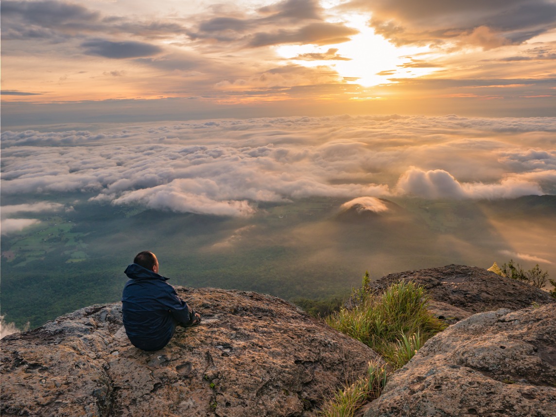
The highest peak in southern Thailand, Khao Luang mountain rises above Nakhon Si Thammarat province at 1,835 meters elevation. The summit and its foothills form the heart of a national park cloaked in humid tropical forest, crisscrossed by challenging trekking trails and inhabited by abundant wildlife.
Why visit Khao Luang mountain
The massif appeals equally to seasoned hikers and naturalists. The forest remains largely intact on the higher slopes, despite rubber plantations that have replaced some of the lower-altitude forest cover. It also serves as a regional water tower: the Tapi River, the longest in southern Thailand, along with the Klai, Nopphitan and Pakphanang rivers all originate in the massif.
Geologically, the mountain rests on a granite core wrapped in loose soil. This configuration explains the risk of landslides on the steepest slopes during the wet season, and demands constant vigilance during treks.
What you'll encounter on the trail
Diverse forest
The trail traverses dense jungle where ferns, styrax and Mesua ferrea intermingle. You'll also encounter the Tualang, one of Southeast Asia's tallest trees, nicknamed the "honey tree" because giant honeybees build their hives high on its smooth trunk.
Abundant wildlife
Khao Luang national park is home to 90 recorded mammal species. The most frequent encounters involve wild boar, porcupines, macaques and gibbons. Tigers, panthers and bears are present but sightings remain exceptional.
In terms of birdwatching, the massif is prime terrain. Wreathed hornbills, spotted barbets, black eagles, red junglefowl, impeyan pheasants and thick-billed green pigeons rank among regularly observed species. Reptiles include the Malayan python, whip snake, red-headed krait and spiny turtle — some venomous, which underscores the value of professional guidance.
Preparing for the trek
The summit ascent spans approximately 3 days, with 2 nights under the stars. It must be undertaken in the company of a park ranger, who ensures both safety and trail navigation. The hike is demanding: slippery slopes, sustained elevation gain, constant humidity. Solid hiking experience and strong physical fitness are essential. The trek is not recommended for children under 15.
Equipment to bring
Hammock and mosquito net for bivouacs
Sturdy trekking shoes with crampons
Leech-proof socks
Waterproof clothing
Filtered water bottle for stream refills
Headlamp and spare batteries
Travel light: every kilogram counts over three days of jungle progression.
Best time to visit
The most favorable window runs from February to May: manageable temperatures and moderate rainfall. October through December should be avoided, with intense rains and trails becoming hazardous. Park authorities may close summit access if weather conditions are unfavorable.
Practical information
Access to the mountain is via the Khao Luang national park entrance. An entrance fee applies, with different rates for foreign visitors and a vehicle surcharge; budget modest costs to be paid on-site. Trek departures are reserved at the park office, where you're assigned a ranger and itinerary.
How to get there
The mountain sits at the center of the national park, in southern Thailand. From Bangkok, the fastest option is a domestic flight to Nakhon Si Thammarat, also accessible by overnight bus. From the city, taxi, local bus or rental car will get you to the park entrance in roughly an hour. On-site, rangers orient you toward departure points based on your itinerary and the day's weather.
What to see nearby
Ban Khiri Wong village, nestled at the foot of the massif, known for its orchards and craftsmanship
Krung Ching waterfall, one of southern Thailand's highest cascades
Kaeo Surakan cave, to explore within the same protected zone
Wat Khao Khun Phanom, a mountain temple offering views across the region
Frequently asked questions
Yes. The trek requires solid hiking experience and strong physical fitness. It's not recommended for children under 15, and the ascent must be done with a park ranger.
Plan for approximately 3 days, with 2 nights of camping under the stars.
February through May, when temperatures are manageable and rainfall moderate. Avoid October to December, marked by heavy rains.
Hammock, mosquito net, cramponed shoes, leech-proof socks, waterproof clothing, filtered water bottle and headlamp are among essential gear.
No. Summit access is through the national park, with an entrance fee and mandatory accompaniment by a park ranger reserved through the park office.
Looking to combine this trek with other southern Thailand highlights? Discover our tailor-made itineraries for a Thailand journey.
Photos
Nearby
Also discover
Khao Luang National Park
West of Nakhon Si Thammarat, Khao Luang National Park protects 570 km² of jungle, tiered waterfalls, and rare orchids—an off-the-beaten-path trekking destination.
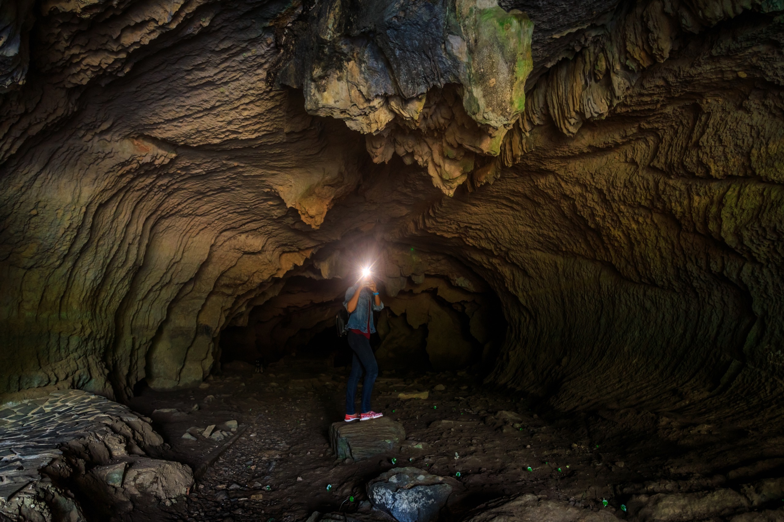
Kaeo Surakan Cave
Limestone cave and Buddhist meditation site in Lan Saka district, near Khao Luang National Park, in Nakhon Si Thammarat Province.
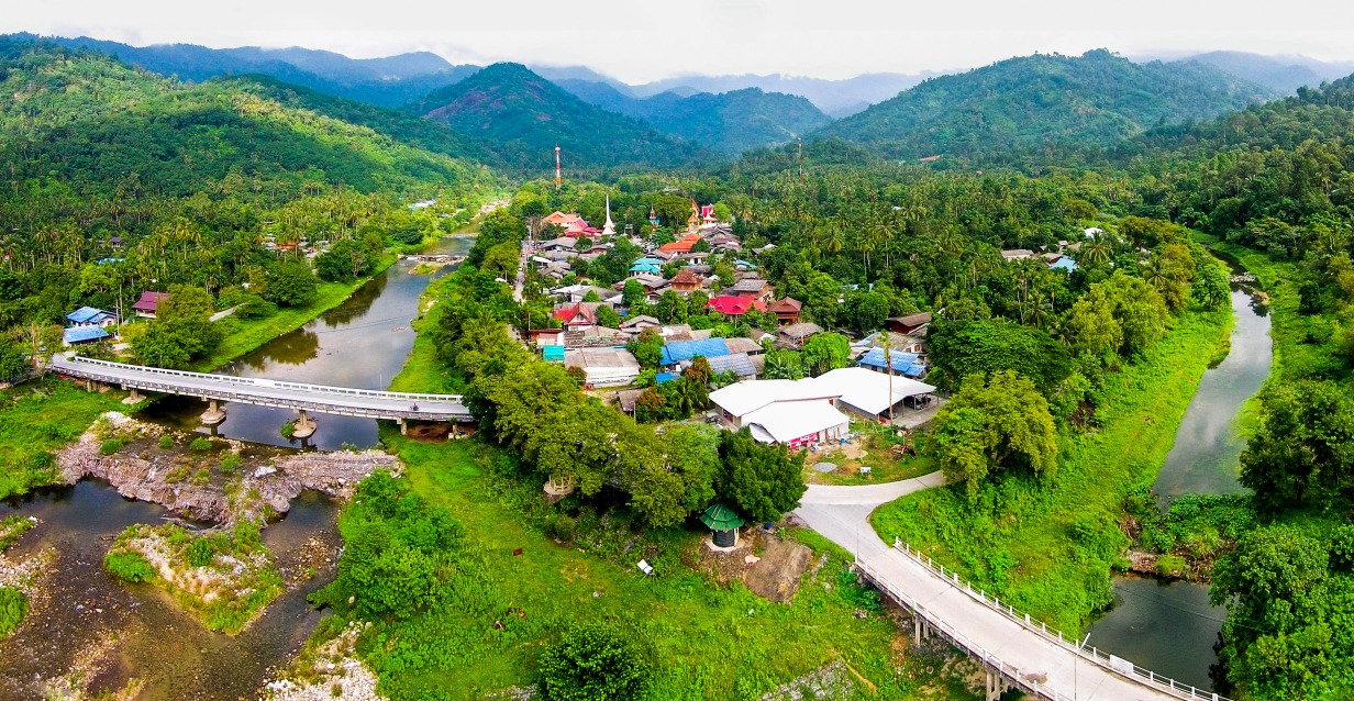
Ban Khiri Wong Village
At the foot of the Khao Luang massif, Ban Khiri Wong is an agricultural village recognized for its community ecotourism: trekking, textile crafts and homestays.
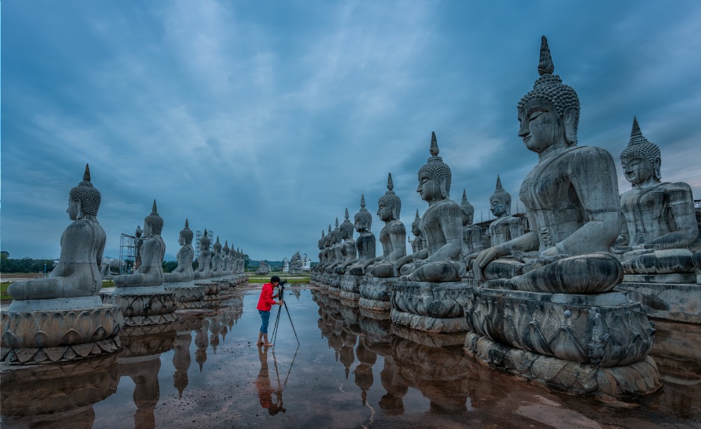
Nakhon Si Thammarat
Once the capital of the Tambralinga Kingdom, Nakhon Si Thammarat blends ancient temples, shadow puppet theatre, and authenticity, 780 km south of Bangkok.
Interested in this visit?
We can include it in your personalised itinerary.