Doi Pha Dam
Doi Pha Dam
ดอยผาดำ ตำบล กองแขก อำเภอจอมทอง เชียงใหม่ 50240, Thaïlande
A karst summit of 1571 m near Chiang Mai, Doi Pha Dam is climbed in a day through terraced rice fields and Karen villages.
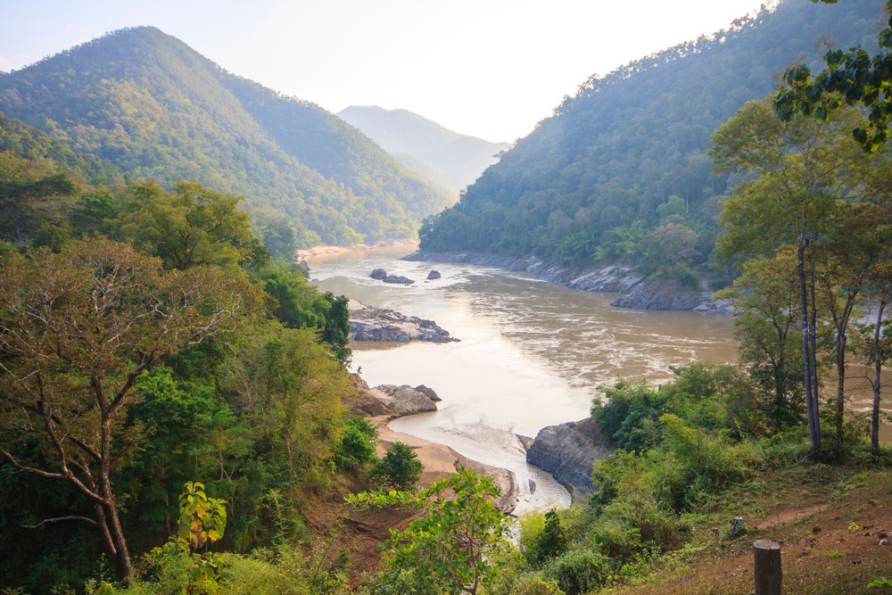
Doi Pha Dam is a karst summit in Chiang Mai province that rises to 1571 meters above sea level. Its limestone blocks covered in vegetation form the geological signature of the massif, which ranks among the highest peaks in northern Thailand. The mountain can be climbed as a day trek, passing through terraced rice fields and Karen villages.
Why visit Doi Pha Dam
Doi Pha Dam appeals to trekkers for three combined reasons: distinctive karst relief, a succession of agricultural landscapes shaped by the Karen community, and relatively straightforward access from the main road leading to Doi Inthanon National Park. Unlike the busier sites across northern Thailand, the summit remains lightly visited, making it an excellent choice for hikers seeking a day away from the well-trodden trails around Chiang Mai.
History and the Karen community
The Karens, originally from Myanmar, settled near the massif over the past centuries, drawn by the fertile soils and favorable hydrology of the region. Their economy centers on rice and vegetable cultivation, structured around the irrigated terraces that cover the mountain slopes. The Karens are also recognized as skilled elephant handlers, a knowledge passed down through generations and still visible today in several camps throughout the province.
The villages encountered during the ascent bear witness to this agricultural organization: houses on stilts, rice granaries, fields cultivated in tiers. Meeting the local people is an integral part of the experience, provided you respect local customs and travel with a guide.
What to see and do on the trek
Terraced rice fields
The first kilometers of the ascent pass through rice fields arranged in terraces, particularly photogenic during the growing season, when the paddies are full of water and an intense green.
Karen villages
Several hamlets dot the trail. They allow you to understand the agricultural lifestyle of the community and, sometimes, to pause for tea or a simple meal.
The summit and its panorama
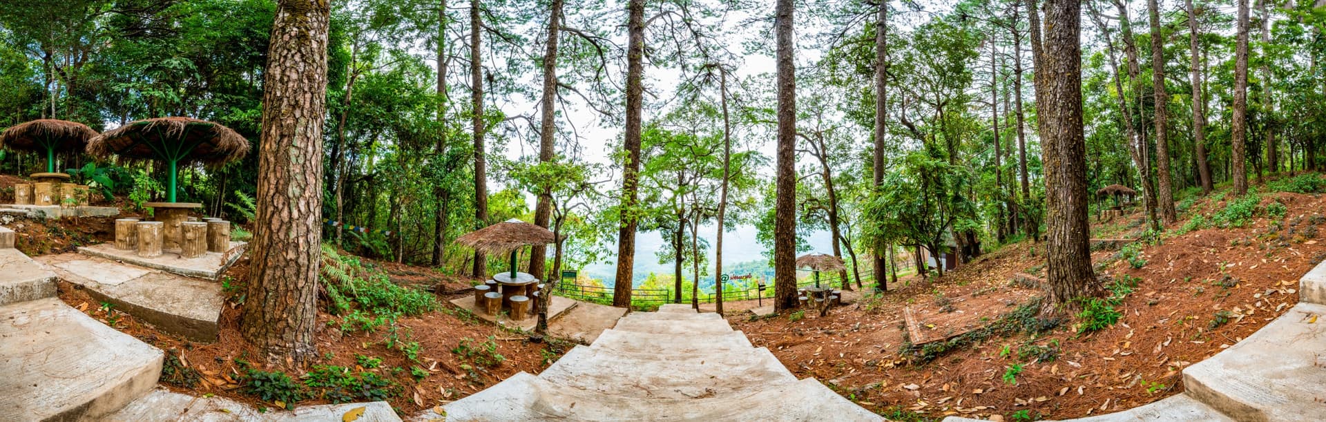
At the summit, at 1571 meters, the view opens onto the surrounding valleys and, on clear days, onto the Doi Inthanon range. It's also the natural rest point for lunch before the descent.
Practical information
The trek to Doi Pha Dam is of moderate to challenging difficulty, with significant elevation gain and sometimes slippery terrain during the wet season. Plan for a full day on the mountain. Good physical fitness is required, as are proper hiking boots with ankle support, plenty of water, a lightweight rain jacket and sun protection.
A local guide is highly recommended: trail markers are limited and walking through Karen villages flows more naturally with a local companion.
When to go
The rainy season, from July to November, coincides with the rice planting and harvesting phases: this is when the rice fields are most spectacular. A typical monsoon morning mist then covers the jungle and creates particularly special atmospheres at sunrise. The downside: muddy trails and possible downpours during the day. The dry season (December to February) remains manageable, with more comfortable weather but less visually striking agricultural landscapes.
How to get there
The road serving Doi Inthanon National Park also passes the entrance to Doi Pha Dam, approximately two hours' drive southwest of Chiang Mai. Most visitors combine the site with an organized excursion from Chiang Mai, by private car or minivan.
Nearby attractions
- Mae Wang, a river valley renowned for its treks and ethical elephant camps
- Baan Tawai, the wood carving village
- Mae La Noi, a rural district to the northwest
- Wat Pa Niyom Phrai Pha Mon, a forest monastery near the massif
Frequently asked questions
The trek is of moderate to challenging difficulty. The elevation gain to 1571 meters requires good physical fitness and experience with mountainous terrain.
Plan for a full day on the mountain, including ascent and descent, with stops at Karen villages and the summit.
A local guide is highly recommended, both for safety on poorly marked trails and to facilitate meaningful encounters with the Karen communities.
From July to November, during the rainy season, the rice fields are at their peak and morning mist adorns the jungle. The dry season remains accessible for a more comfortable experience but less lush scenery.
Doi Pha Dam fits naturally into an itinerary in northern Thailand. To build a complete route around Chiang Mai and the Karen mountains, explore our Thailand journeys.

Photos
Interested in this visit?
We can include it in your personalised itinerary.