Salawin National Park
Salawin National Park
5V8M+2PM, Mae Sariang, Province de Mae Hong Son 58110, Thaïlande
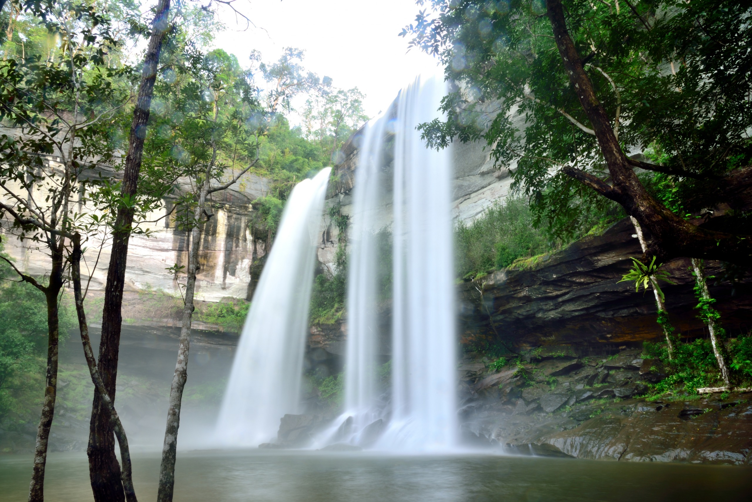
West of Mae Sariang, Salawin National Park protects 722 km² of forests, cliffs and Karen villages along the river that marks the frontier with Myanmar.
The Salawin National Park spans 722 km² across the Dawna mountain range, at the far west of Mae Hong Son province. Bordered by the Salawin River, which marks the frontier with Myanmar, it combines evergreen forests, cliffs, ravines and Karen villages established for over a century. The park headquarters sits 6 km west of Mae Sariang.
Why visit Salawin National Park
Three elements set this park apart in northern Thailand. First, the presence of the Salawin River, one of Southeast Asia's longest waterways, which originates on the Tibetan plateau and flows through China and Myanmar before skirting Thailand for 120 km. The park occupies its eastern bank, making river navigation and shoreline observation nearly unavoidable.
Next comes the forest's richness: Salawin is home to Thailand's second-tallest teak tree, alongside a mix of deciduous dipterocarps and evergreen forests, punctuated in spring by the pink blooms of wild cherry trees.
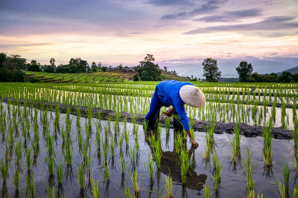
Finally, the human dimension: the park is long inhabited by Karen communities whose village of Ta Tar Fan remains accessible to respectful visitors. It is one of Thailand's rare protected areas where subsistence rice farming and traditional bamboo dwellings are still observed.
History and protection status
The site was declared a national park in 1994, as part of Thailand's policy to protect border forests. However, this protection did not shield the massif from trafficking: between 1996 and 1998, 33% of trees were illegally felled by corrupt forest authorities and military officials, in one of the most prominent environmental scandals of the decade in Thailand. Subsequent investigations led to strengthened controls and greater involvement of riverside villages in monitoring, with ecotourism now presented as a lever for restoration and local revenue.
Wildlife, flora and landscapes
Forest and vegetation
The slopes alternate between deciduous dipterocarps and evergreen forests. The park's highest summit reaches 1,030 m, modest though it may be, yet sufficient to create microclimates favoring great botanical diversity. Wild cherry trees bloom in early year and serve as a recognizable visual marker.
Mammals
Large mammals remain rare and elusive. The Sumatran serow (mountain goat), sambar deer, muntjac, civets, squirrels, Burmese hare and tree shrew are all reported. Bears are noted but rarely observed.
Birds and butterflies
Birdwatching ranks among the park's primary activities. Regularly sighted species include the grey wagtail, gold-whiskered bulbul, oriental roller, black-necked tailorbird, brown shrike and several kingfisher species along the riverbanks.
As for lepidopterans, the park hosts notably:
The common mormon, a dark butterfly with a wingspan of 7 to 10 cm.
The red helen, with a black body spotted yellow.
Troides helena, one of Southeast Asia's largest butterflies.
Kallima inachus, capable of mimicking a dead oak leaf when wings are closed.
What to see and do
Navigation on the Salawin River
A long-tail boat descent along the river remains the most favoured activity. It allows observation of the natural frontier with Myanmar, cultivated banks and fishing hamlets. Early morning outings offer interesting lighting conditions, when mist lingers above the water.
Hiking
Several trails depart from park headquarters. The hike to Baan Maesamlab village remains accessible to most walkers, while more demanding treks lead to ridges peaking around 1,000 m. Allow half a day to a full day depending on the route chosen.
Meeting the Karen of Ta Tar Fan
The Ta Tar Fan Karen village has been settled there for over a century. Its honeycomb-arranged bamboo dwellings, subsistence rice farming, animistic and shamanic practices, and betel chewing still common among elders make it a living cultural testament. Visits are guided by local inhabitants and require discretion: photography is not without asking, and one does not invite oneself into homes.
Practical information
The park is open during daylight hours, generally from dawn to sunset. Entrance is paid at a modest rate (reduced rates for children), payable in baht at reception. Conditions and amounts may change: inquire at your Mae Sariang accommodation or directly at park headquarters.
Bring water, a hat, closed-toe shoes and insect repellent. Trails can be slippery after rain. Part of the park is sensitive (border zone): follow ranger instructions and stay on marked trails.
When to go
The region experiences an upland tropical climate marked by three seasons: cool (November–February), hot (March–May) and wet (June–October). The most pleasant period to visit Salawin spans November to February, with comfortable temperatures, little rain and good visibility over the river. The wet season makes some trails impassable; the hot season brings dry haze from agricultural burning, which reduces visibility.
How to get there
The park is reached from Mae Sariang, which serves as the logical base. From Chiang Mai, budget around 200 km and 5 hours by bus to reach Mae Sariang. Songthaews (shared taxis) offer a more flexible but slightly pricier connection. Mae Sariang has no commercial airport.
Once there, park headquarters sits 6 km west of Mae Sariang, accessible by scooter, rental motorbike or local taxi. For hikes and river activities, arrangements typically go through local guides or Mae Sariang agencies.
Nearby attractions
Mae La Noi: rural valley north of Mae Sariang, known for minority villages and terraced rice fields.
Doi Pha Dam: panoramic summit offering views over the Burmese frontier.
Mae Wang: forested area suited to rafting and ethical elephant trekking.
Dawna Range: transborder massif of which Salawin occupies a portion.
Frequently asked questions
Frequently asked questions
One day allows combining river navigation and a short hike. To include the Ta Tar Fan Karen village or a longer trek, plan two days with a night in Mae Sariang.
Yes, though some activities (river navigation, village access, longer treks) involve local guides based in Mae Sariang. English signage remains limited.
No. The Salawin River marks an international frontier closed to tourism here. The Burmese banks are not accessible from the park.
November to February, early morning, when bird activity is strongest and vegetation remains dense following the monsoon.
No, a simple entrance ticket purchased at reception suffices. However, certain sensitive zones near the border require an authorised guide.
Preparing your visit
Salawin National Park naturally fits into an itinerary combining Chiang Mai, the Mae Hong Son loop and the Karen valleys of northwestern Thailand. To build a bespoke journey integrating this still lesser-visited region, explore our Thailand travel ideas.
Photos
Also discover

Mae Sariang
At Thailand's border with Burma, Mae Sariang captivates nature lovers and trekking enthusiasts with its Karen villages and the mythical Mae Hong Son loop.
Mae La Noi
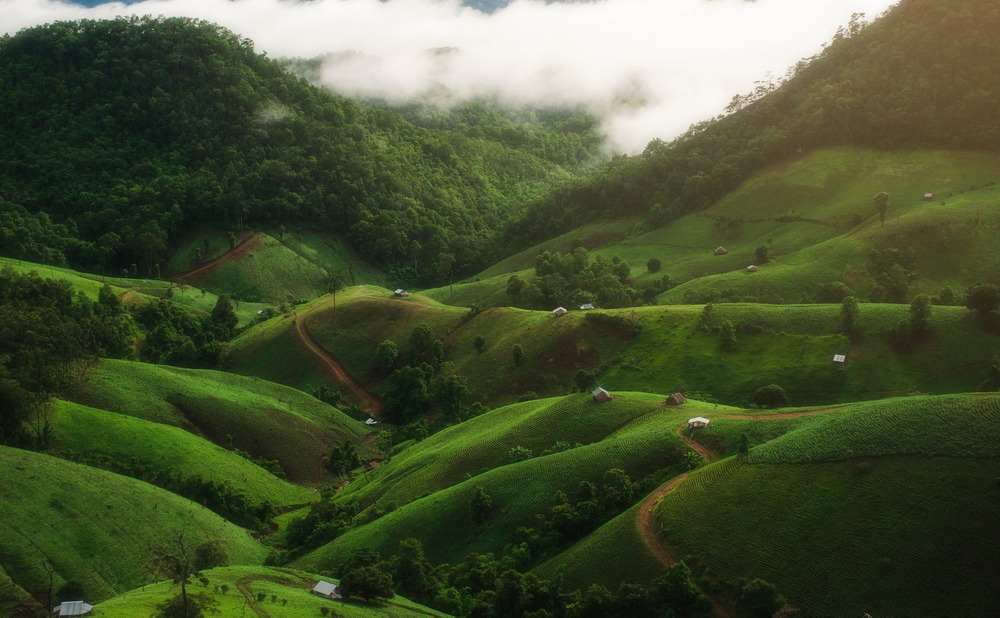
A highland village in southern Mae Hong Son, Mae La Noi brings together several ethnic groups, trekking trails and the Kaew Komol calcite cave.
Interested in this visit?
We can include it in your personalised itinerary.