Dawna Range
Dawna Range
The Dawna Range stretches 350 km between Thailand and Myanmar. Protected forests, Indochinese tigers, peaks reaching 2,080 m, and Karen villages.
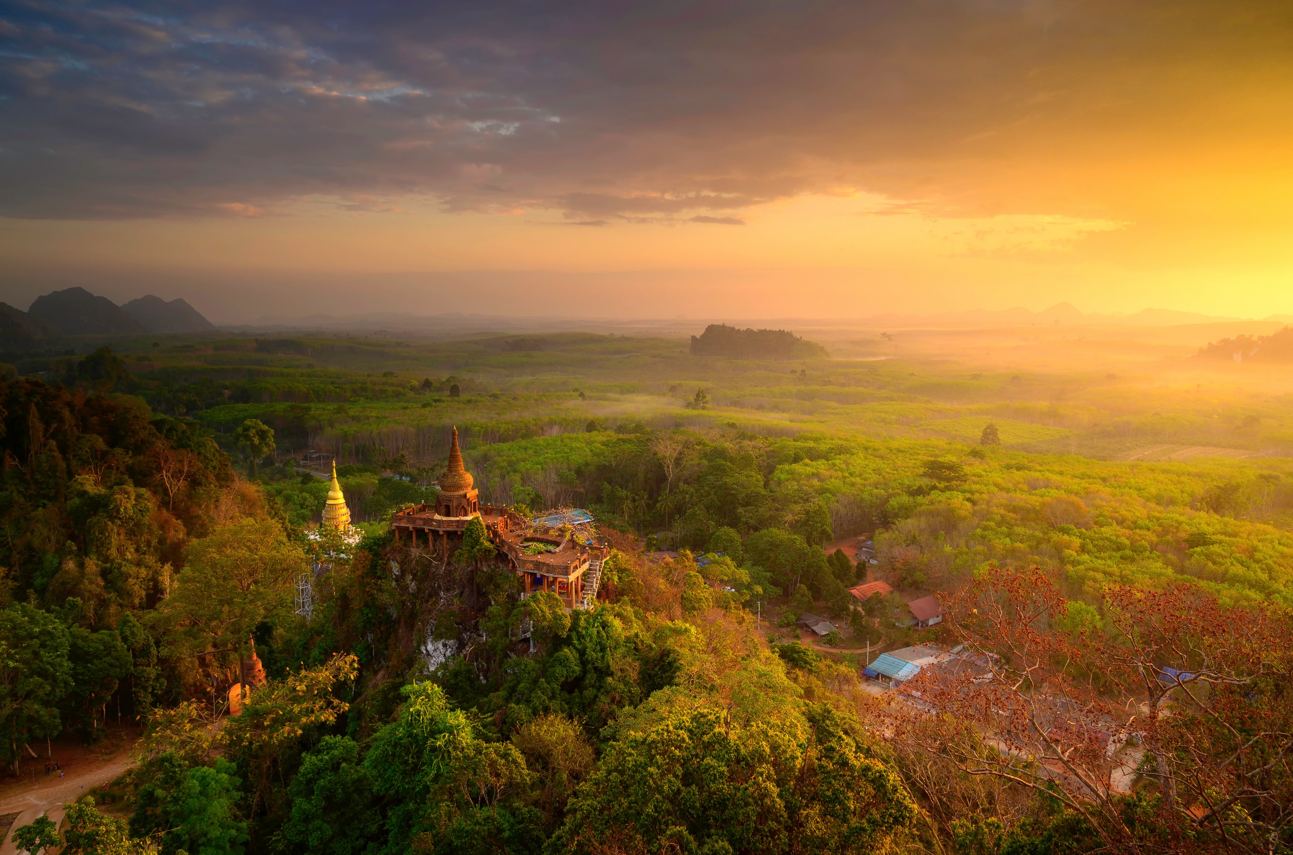
The Dawna Range traces a natural border between Thailand and Myanmar across 350 kilometres. Blanketed in tropical forests, punctuated by wildlife sanctuaries and home to Karen communities, it represents challenging terrain for trekking and wildlife observation, largely bypassed by mass tourism.
Why visit the Dawna Range
The region combines three rare assets within mainland Thailand: exceptional biodiversity protected by several national reserves, pronounced reliefs peaking beyond 2,000 metres on the Myanmar side, and long-established Karen and Hmong minorities whose villages remain accessible to guided visitors.
Thung Yai Naresuan Sanctuary, inscribed as World Heritage alongside its neighbour Huai Kha Khaeng, harbours approximately 200 Indochinese tigers and over 400 bird species within its bounds. It stands as Thailand's largest protected area and one of the last viable refuges for endangered Asian megafauna.
What to see and do
Thung Yai Naresuan Wildlife Sanctuary
This protected area sprawls across the provinces of Kanchanaburi, Tak, and Uthai Thani. The historic Three Pagodas Pass marks one of its access points. Landscapes alternate between rivers, ravines, fertile valleys and mountain forests, with the Dawna Range as backdrop. Access is strictly regulated: administrative authorisation and an accredited guide are mandatory.
Salawin National Park
Located between Mae Sariang and Sop Moei districts, this park runs along the Salawin River, which forms the border with Myanmar. Dipterocarp forest dominates the landscape. Documented fauna includes Asian elephant, Indochinese tiger, barking deer, gaur and palm civet. Several trails enable exploration over one to two days.
Khao Laem National Park
Integrated into the Western Forest Complex, Khao Laem centres on a large reservoir and Tenasserim hills. Wildlife mirrors that of Thung Yai. Boat routes across the reservoir offer an alternative to pure trekking.
Taksin Maharat National Park
Named in honour of King Taksin, this more modest park in Tak province shelters one of the country's largest recorded trees, a centuries-old Krabak (Anisoptera costata). Waterfalls, limestone caves and mineral formations punctuate the visit, which proves more accessible than the remote sanctuaries.
Mela Taung and the Myanmar peaks
The range's highest summits lie in Myanmar, within Kayah and Kayin States. Mela Taung (sometimes spelled Mulayit Taung) peaks at approximately 2,080 metres and constitutes the range's highest point. Ascents remain reserved for seasoned trekkers, and access from the Myanmar side depends heavily on local conditions.
Karen and Hmong villages
Several Karen and Hmong communities inhabit the valleys of the national parks. Guided visits with local guides allow observation of their subsistence farming (maize, rubber), bamboo architecture and seasonal rituals. Prioritise encounters organised through operators who respect community consent.
Practical information
Access to Thai protected areas operates through national park offices, where permits and ranger accompaniment are arranged on site. Entry fees follow a dual pricing structure (residents/foreigners) at moderate levels. For Thung Yai and sensitive border zones, accompaniment by a specialist agency is not optional: it conditions entry permission.
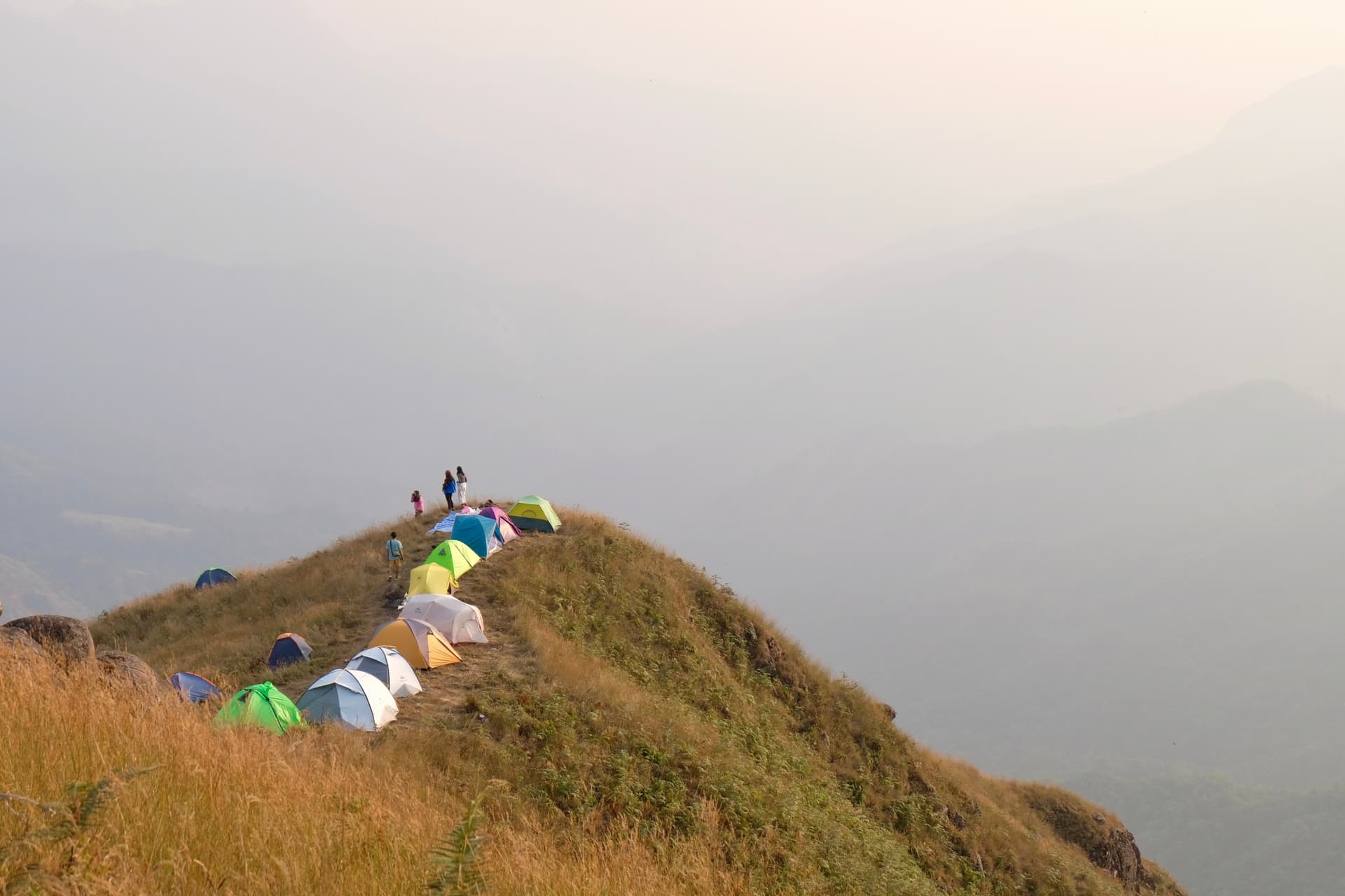
Accommodation ranges between guesthouses in towns (Mae Sariang, Sangkhlaburi, Umphang), park-managed bungalows and tent nights during treks. Budget 2 to 4 days for serious immersion in one park, longer to combine multiple zones.
When to visit
The climate is tropical monsoon. The recommended window spans November to February: temperatures are cool at altitude, rainfall scarce and trails passable. March and April become hot and hazy due to agricultural fires. The rainy season (May-October) renders numerous trails impassable and increases risks from leeches and landslides.
How to get there
No single city serves the entire range. Primary access points are Mae Sariang and Mae Hong Son in the north (reachable by bus from Chiang Mai, 4 to 7 hours), Tak and Umphang in the centre (flights to Mae Sot then winding road to Umphang), and Kanchanaburi followed by Sangkhlaburi in the south to reach Thung Yai (5 to 6 hours by bus from Bangkok then local transfer). Mountain secondary roads demand suitable vehicles and experienced drivers.
Nearby attractions
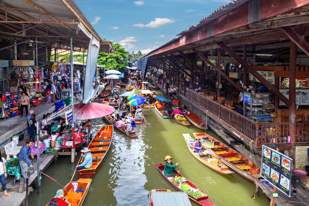
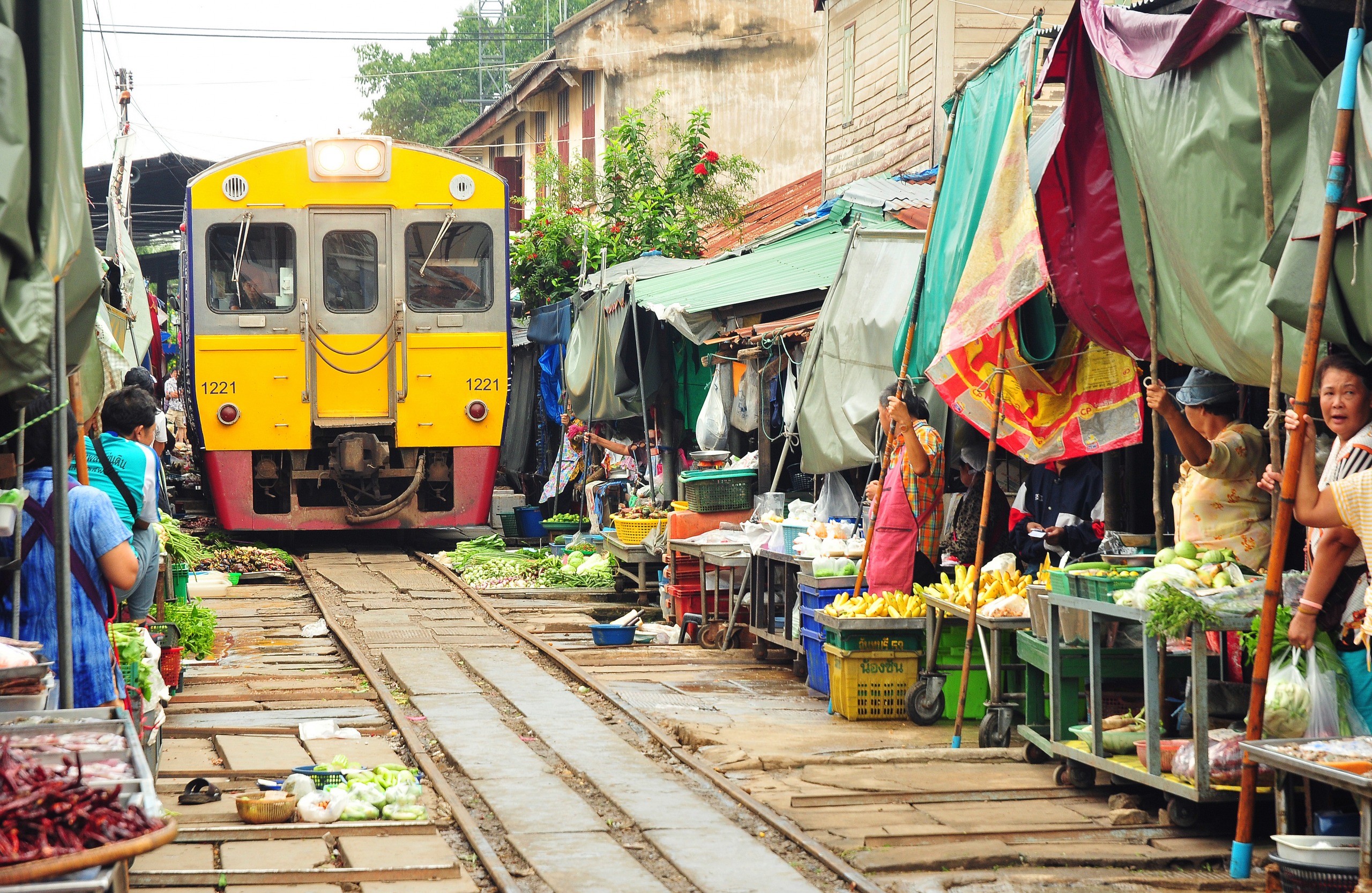
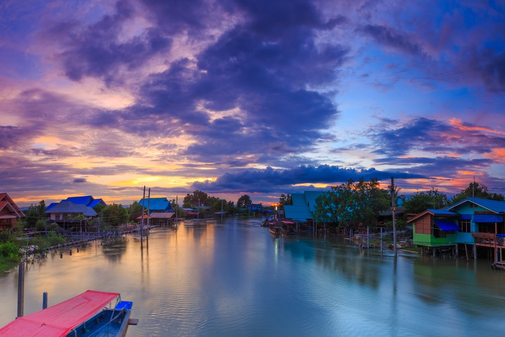
The region abounds with contrasting sites to integrate into a Thai itinerary. For a gentler stopover, central plains markets and waterways merit a detour, notably Damnoen Saduak and its floating market, the striking Mae Klong railway market or the coastal ecosystems of Klong Kone mangrove.
Frequently asked questions
Frequently asked questions
November to February, during the dry season. Temperatures are cool at altitude and trails passable. Monsoons (May-October) render many accesses impossible.
Not for sanctuaries like Thung Yai Naresuan, which require permit and accredited guide. Yes for certain marked trails at Taksin Maharat or Khao Laem, though a local guide remains advisable for safety and terrain reading.
Asian elephant, gaur, barking deer, palm civet and over 400 bird species are regularly encountered. Indochinese tiger inhabits Thung Yai but remains extremely difficult to spot.
The situation at the Myanmar border remains unstable and access conditions evolve frequently. It is prudent to confine yourself to the Thai side and inquire with local operators before any cross-border project.
To integrate the Dawna Range into a complete itinerary, consult our suggestions for travel in Thailand.
Photos
Nearby
Interested in this visit?
We can include it in your personalised itinerary.