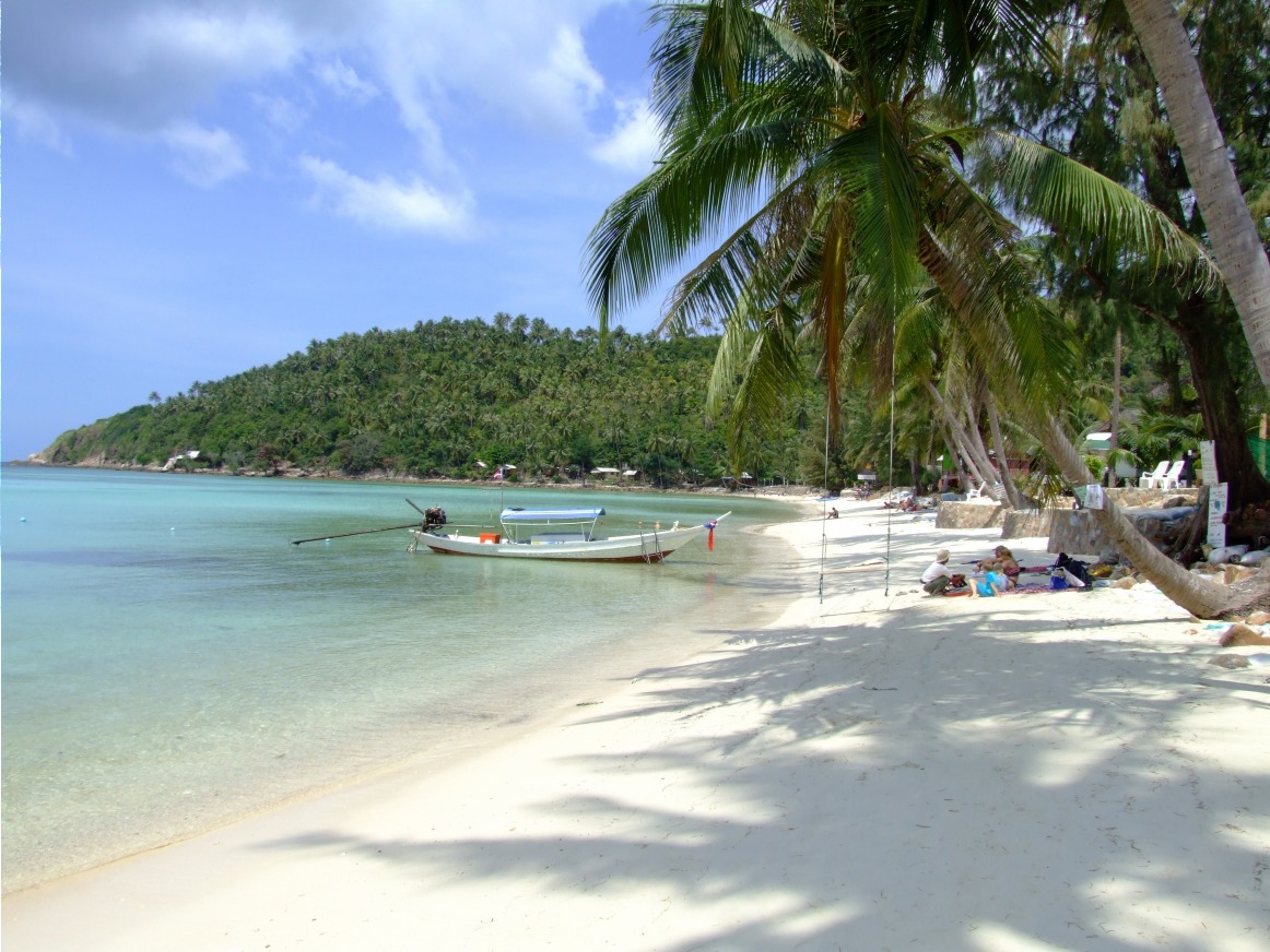
Salween River (Salween River)
The Salween runs along Mae Hong Son Province in western Thailand. As a border river between Thailand and Myanmar, it crosses wild territory inhabited by Karen communities, far from mainstream tourist circuits.
The Salween — Nam Khong in Thai — is one of Southeast Asia's great rivers. In Thailand, it forms the natural border between Mae Hong Son Province and Myanmar for several dozen kilometers. Nestled between forested hills, it flows through sparsely populated territory inhabited by Karen communities. It is a river of wild nature, far from the classic tourist circuits of northern Thailand.
Practical information at a glance
- Access: from Mae Hong Son or Mae Sariang, by mountain road; a 4×4 vehicle or all-terrain motorcycle is recommended for secondary tracks.
- Dress code: light but covering clothing for villages; sun protection and insect repellent are essential.
- Recommended duration: a full day minimum to reach the riverbanks and explore the surroundings.
- Border zone: some areas near Myanmar require a special permit; check with local authorities or an agency before approaching the border.
What to see there
The Salween flows through an enclosed valley, bordered by dense forests and bamboo groves. The Thai riverbanks are dotted with Karen villages with stilt houses. During the dry season, sandbars emerge, accessible on foot or by dugout canoe. Birdlife is rich; raptors and kingfishers are regularly spotted.
History and context
The Salween originates on the Tibetan Plateau and flows approximately 2,800 km before emptying into the Gulf of Martaban in Myanmar. In Thailand, it is navigable only for short stretches. The border region has long been marked by conflicts between the Burmese army and Karen ethnic groups, which explains its relative isolation and the presence of refugees in camps near Mae Sot and Mae Hong Son.
Highlights of the visit
The dugout canoe crossing
Local boatmen offer short crossings between the two banks. It's an opportunity to observe the river up close, its powerful currents during the rainy season and its calmer waters in the dry season.
Karen villages on the waterfront
Several Karen communities live on the Thai riverbanks. A respectful visit, ideally accompanied by a local guide, provides insight into their way of life, craftsmanship and relationship with the river.
The panorama from the heights
The mountain roads descending toward the Salween offer viewpoints over the river valley and the hills of Myanmar. Dawn and dusk are the most photogenic moments.
Photography tips
The golden morning light, when mist rises over the river, yields the best images. Avoid midday, which is highly contrasted. To photograph village residents, always ask permission. Reflections on the water are particularly sharp in the dry season (November–April).
Location and access
The Salween borders Mae Hong Son Province in the west. The most common access point on the Thai side is the area around Mae Hong Son in the north, or Mae Sariang in the south. The roads are winding and track conditions vary with the season. During the rainy season (June–October), some access routes may be cut off. No direct public transport serves the river banks; vehicle rental or an organized tour is necessary.
Nearby
- Mae Hong Son — provincial capital surrounded by mountains, with its misty temples and lively morning market.
- Mae Sariang — peaceful small town on the Yuam River, a starting point for exploring the south of the province.
- Salawin National Park — protected park that runs along the river, with remarkable forest biodiversity.
Frequently asked questions
The dry season, from November to April, is the most favorable: roads are passable, the river is less turbulent and sandbars are accessible. During the rainy season, the river rises significantly and some tracks become impassable.
Some areas near the Burmese border are subject to access restrictions. Check with the local district office or a specialized agency before planning your itinerary.
It is possible, but a local guide is highly recommended. It facilitates communication, ensures respect for local customs and contributes directly to the economy of the communities.
Chiang Mai is the closest base. Allow several hours of driving to reach Mae Hong Son or Mae Sariang, then additional travel to the river banks. A rental vehicle or organized tour is the most practical solution.
Short dugout canoe crossings are possible locally, but the river is not developed for tourist navigation over long distances on the Thai side. Boat excursions remain occasional and depend on river conditions.
Interested in this visit?
We can include it in your personalised itinerary.