Phu Sang National Park
Phu Sang National Park
M97G+C9J National Highway 1093 Tambon Phu Sang, Amphoe Phu Sang, Chang Wat Phayao 56110, Thaïlande
Two hours from Chiang Rai, Phu Sang National Park combines a thermal waterfall, karst caves and basalt cliffs along the Laotian border.
The Phu Sang National Park spans 738 km² between the provinces of Phayao and Chiang Rai, bordering Laos. Founded in 2000, it encompasses the districts of Thoeng, Chiang Kham and Phu Sang. Waterfalls fed by thermal springs, karst caves, basalt cliffs and ridge trails make it an still-undiscovered hiking destination in northern Thailand.
Why visit Phu Sang National Park
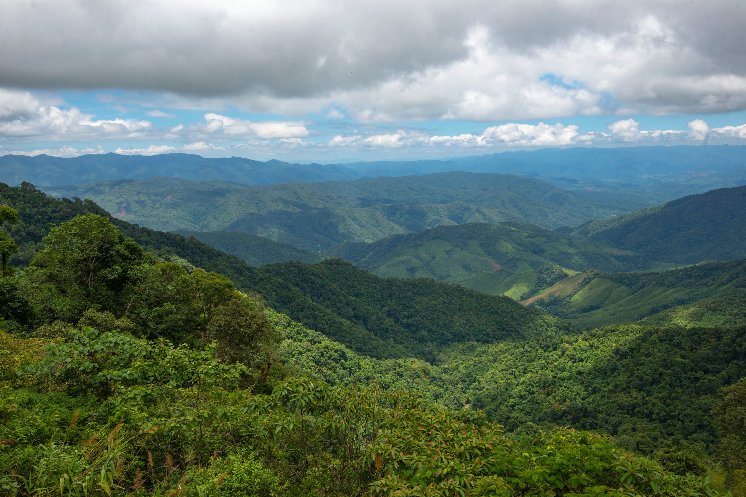
Phu Sang remains off the beaten track in the north, unlike its better-known neighbour Phu Chia Fa. You'll find terrain that rises from 440 to 1,584 metres, dominated by the Phi Pan Nam basalt cliffs. The park forms the natural border between Thailand and Laos, which explains why its landscapes remain so unspoiled: terraced rice paddies, mixed forests, thermal springs and virtually unchanged rural villages.
The park also plays a major hydrological role. Its waterfalls feed the rice paddies downstream, which is why it was placed under protection. For visitors, this translates into an accessible network of waterways and pristine nature.
What to see and do at Phu Sang
Phu Sang Waterfall (Namtok Wang Kaew)
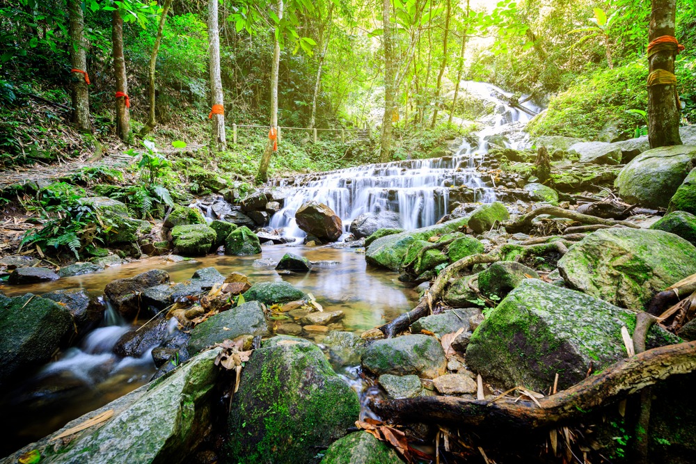
This is the most visited site in the park. The Phu Sang waterfall, also known as Namtok Wang Kaew, is fed by a thermal spring: its water remains warm year-round, a rare feature in Thailand. It sits roadside, making it easily accessible even for a short visit.
Doi Pha Dam Summit
The Doi Pha Dam peaks at 1,584 metres and offers panoramic views over the surrounding cliffs and rice paddies. The approach is via Highway 1093 through Ban Huak village. The final section can be tackled on foot for those keen on high-altitude hiking.
The park's three caves
Phu Sang is home to three main cavities:
Tham Pha Dan: cave with concretions accessible to visitors.
Tham Nam Lot: traversed by an underground stream.
Tham Nam Daeng: known for its limestone formations.
Stalactites and stalagmites are well developed here. A headlamp is useful for the less-lit sections.
Wat Prathat Khun Bong Sanctuary
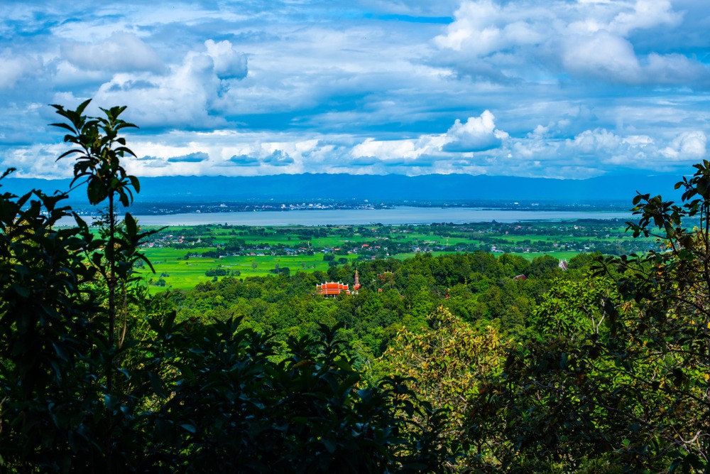
This Buddhist temple sits on a grassy hill within the park. The site's isolation and unobstructed views make it a welcome stop for hikers.
Wildlife and Flora
Wildlife is mostly represented by herbivores: barking deer, sambar, Java mouse-deer, wild boar and Burmese hares. Larger mammals remain rare and elusive. Vegetation combines dipterocarps, conifers, evergreen trees and numerous bamboo species typical of northern Thailand.
When to go
The cool season, from November to January, is the most comfortable time to visit Phu Sang. Temperatures typically range between 13 and 29°C depending on altitude. From mid-March onwards, the heat becomes intense and seasonal haze can reduce visibility over panoramic views. The rainy season, from June to October, makes the waterfalls spectacular but complicates access to trails and caves.
Practical Information
Hours: open daily, daytime hours (confirm on arrival, subject to seasonal variation).
Admission: modest entrance fee for foreign visitors (around 100 baht), half-price for children, free for Thai nationals. Prices subject to change.
Accommodation: bungalows and camping areas run by the park.
Useful equipment: hiking shoes, headlamp for caves, warm clothing in the cool season.
How to get there
The park is reached in about 2 hours by car from Chiang Rai and 1.5 hours from Phayao. Private car or rental remains the most practical option for visiting the different points of interest within the park.
By public transport, take a bus from Chiang Rai bus station to Chiang Kham, then a songthaew to Ban Huak, asking to be dropped at the park headquarters. The final leg covers about twenty kilometres.
In the vicinity
Several sites complement a Phu Sang visit from the Chiang Rai region:
The Wat Rong Khun, the famous white temple on the outskirts of Chiang Rai.
The Wat Huay Pla Kang and its monumental Guanyin statue.
The Mae Sai waterfall, further north.
Phu Chia Fa National Park, located about 42 km to the north, renowned for its sea of clouds at sunrise.
Frequently Asked Questions
Frequently asked questions
Yes, if you're looking for an off-the-beaten-path park with thermal waterfall, caves and viewpoints. Plan a full day on site given the 2-hour drive from Chiang Rai.
For the waterfall and park headquarters surroundings, no. For the caves and Doi Pha Dam ascent, a local guide makes access easier and provides insights into wildlife and flora.
Yes, the park offers bungalows and camping areas. Booking is recommended during the cool season, which is the busiest period.
The end of the rainy season, October-November, offers strong flow while already enjoying milder temperatures.
Plan Your Trip
Phu Sang naturally fits into an itinerary across far northern Thailand combining Chiang Rai, the Golden Triangle and border parks. To build a custom route including this still-undiscovered region, explore our Thailand travel suggestions.
Photos
Also discover
Interested in this visit?
We can include it in your personalised itinerary.