Fang
Fang
At the gateway to northern Chiang Mai, Fang reveals its thermal springs, misty peaks, and ethnic villages—far from the beaten tourist path.
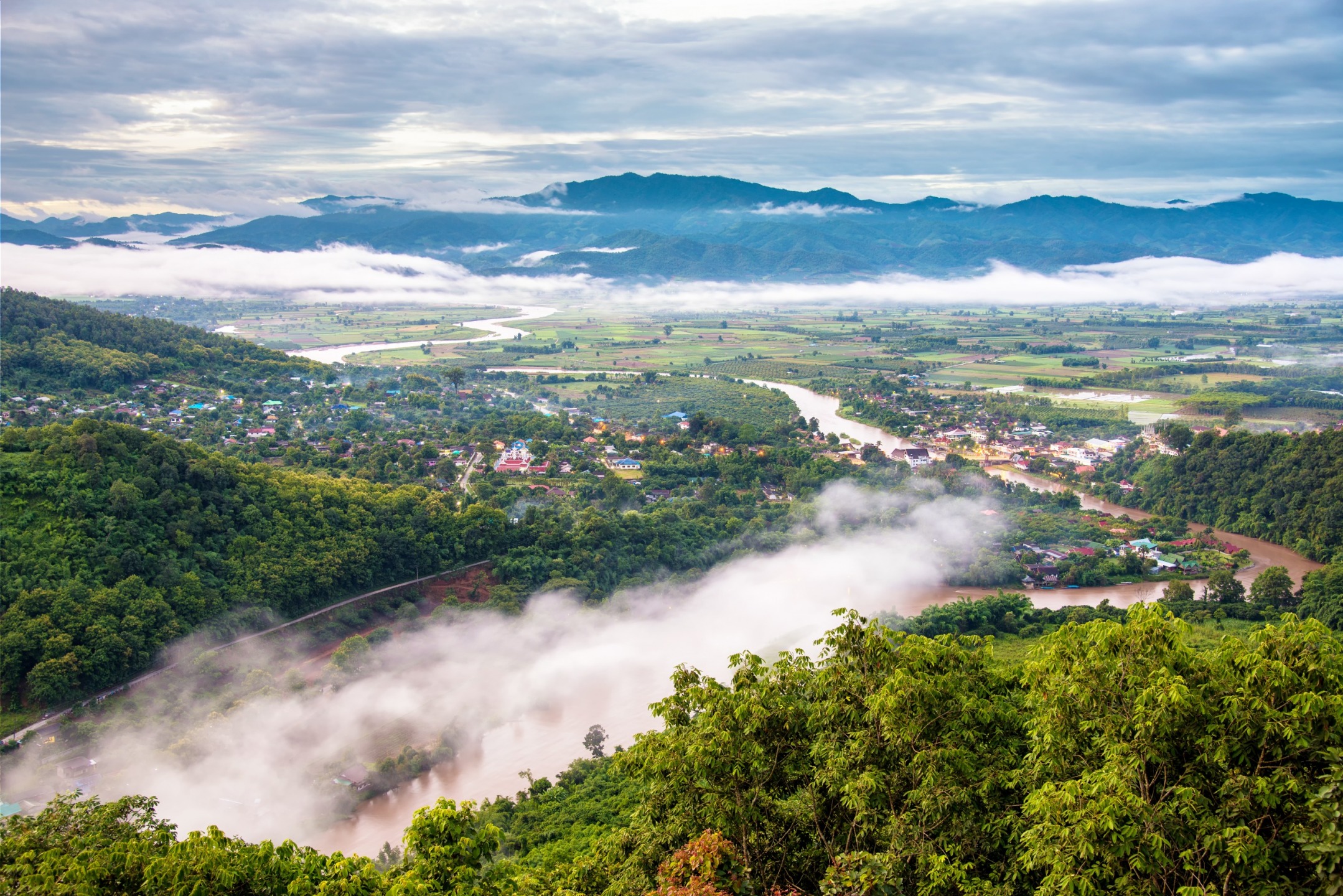
Fang is a genuine hidden treasure within Chiang Mai province, in northern Thailand. Blessed with an extraordinary landscape of mountains watered by the Fang and Kok rivers, this small town exudes tranquility and proves exceptional for reconnecting with nature. It is home to Pha Hom Pok mountain, Thailand's second-highest peak, nestled within one of the country's best-managed and well-organized national parks.
The town has approximately 120,000 residents. Located west of Ban San Nong Khiao and north of Ban Nong Sam Chaeng, it brings together a Thai population and hill tribes such as the Lahu, Hmong, and Karen peoples.
History
The history of Mueang Fang begins in 641 when it was established by King Lawa Changkarat. In 1268, King Mengrai the Great governed it for a year before founding Wiang Kum Kam and Chiang Mai.
Chiang Mai experienced tremendous development and was designated capital of the Lanna kingdom. This pushed Fang into the background, and ever since, it has become a peaceful small town while preserving its beauty and cultural richness.
In 1910, Mueang Fang came under the authority of Chiang Rai and was renamed Fang district. In 1925, it returned to Chiang Mai province. The title Mueang (meaning city), reserved for provincial capitals, was removed in 1938.
What to Do in Fang?
Nature is exceptionally well preserved in Fang district, and the small town is home to a royal agricultural station and a national park—worth visiting for these alone! But it also boasts a famous temple to explore.
Wat Chedi Ngam Temple is a Buddhist temple in the heart of town, featuring a renowned Viharn dedicated to celebrating sixty years of reign by King Rama IX. Built in 2006, this monument showcases modern Lanna-style architecture complete with wooden bas-reliefs and Buddha statues.
Doi Pha Hom Pok National Park is home to the country's second-highest peak, Pha Hom Pok mountain, which rises to 2,285 meters. This nature reserve is also known for its geyser and hot spring sources. You can swim in the mineral sauna or soak in natural spring-fed pools, enjoying therapeutic treatments and guaranteed relaxation.
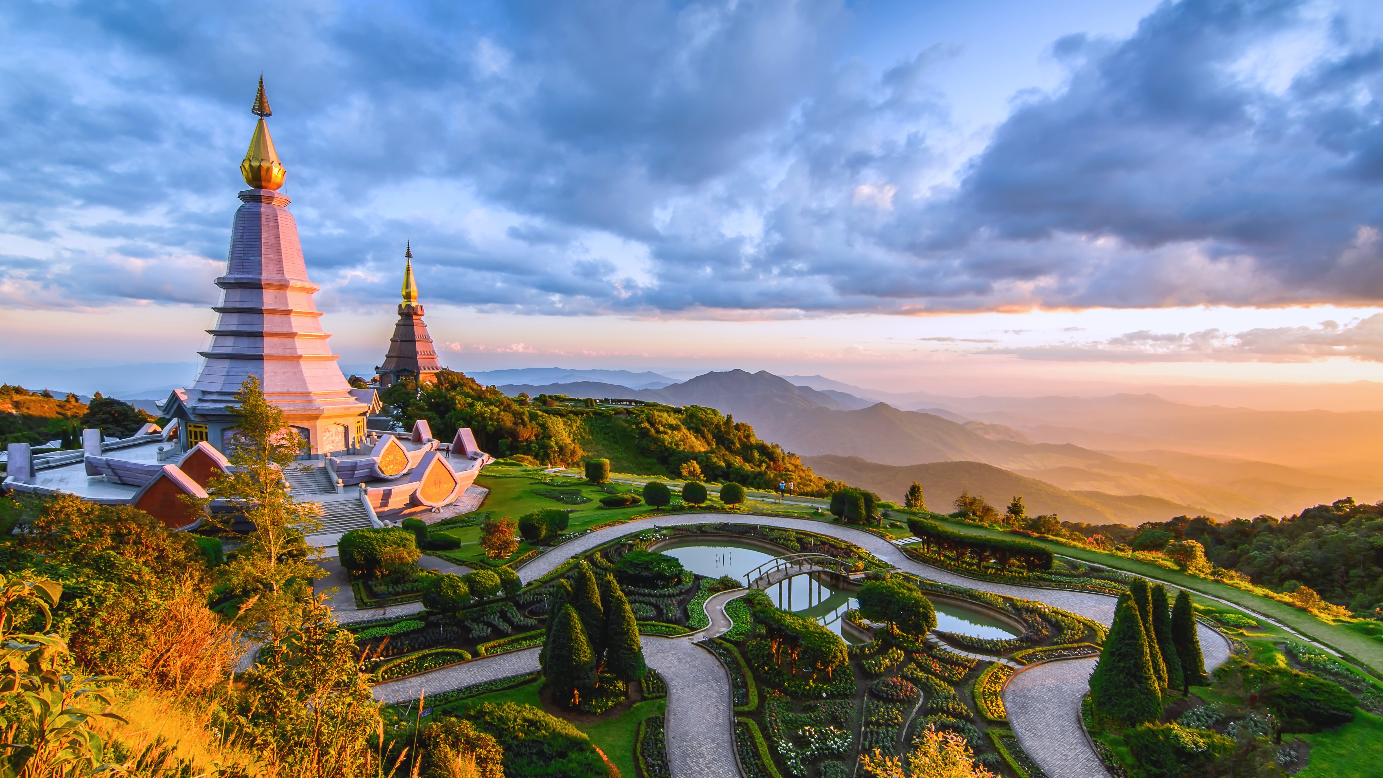
The Royal Agricultural Station Angkhang is a beautiful agricultural garden—the ideal place to discover temperate-climate plants. This eco-tourism site features attractive facilities, providing fresh air and peaceful atmosphere during visits.
Climate in Fang
Fang district is characterized by a tropical savanna climate divided into summer and winter seasons. The hot season is marked by heavy rainfall, particularly intense in July. Average annual precipitation is 1,841 mm. April is the warmest month, with an average temperature of 31°C.
Rainfall decreases considerably in winter, and the best time to visit is from September to April. During this period, the town is relatively dry. February is the driest month, while December is the coolest with an average temperature of 24°C.
Getting to Fang
It's easy to reach Fang from neighboring cities. You can:
- Rent a motorcycle, scooter, or car: consider renting in Chiang Mai or Chiang Dao to reach Fang. These towns sit on the same route.
- Take the bus: from Chiang Mai's Chang Puak station, buses depart hourly to Fang for a three-hour journey.
Photos
Attractions in Fang
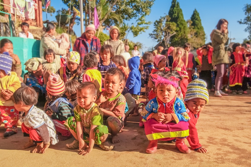
Ban Khop Dong
Village Lahu d'altitude dans le massif de Doi Ang Khang, au nord de Chiang Mai. Culture animiste, agriculture de montagne et histoire liée au Projet Royal.
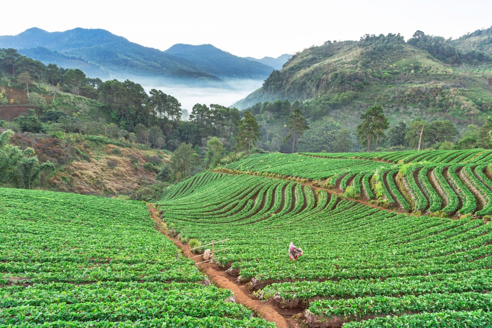
Ban Nor Lae
Village Palaung accroché au massif du Doi Ang Khang, face à la frontière birmane, Ban Nor Lae illustre la reconversion agricole du Triangle d'Or thaïlandais.
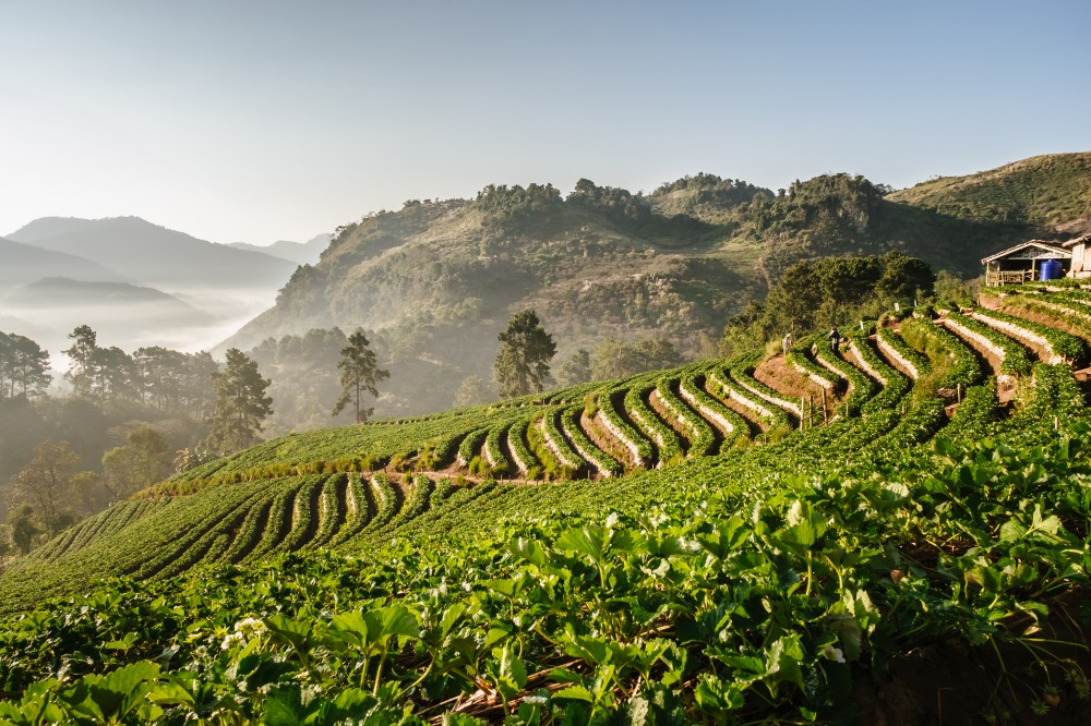
Le Massif Doi Ang Khang
Massif du nord thaï près de Chiang Mai, Doi Ang Khang associe station agricole royale, vergers tempérés et villages Lahu et Palaung sur la frontière birmane.
Want to discover this destination?
Our local advisors design your tailor-made trip.