Doi Ang Khang Massif
Doi Ang Khang Massif
Doi Ang Khang, Mae Sun, Amphoe Fang, Province de Chiang Mai 50320, Thaïlande
A massif in northern Thailand near Chiang Mai, Doi Ang Khang combines a royal agricultural station, temperate orchards and Lahu and Palaung villages on the Burmese border.
The Doi Ang Khang massif rises in Fang district, in far northern Thailand along the Burmese border. This mountainous terrain combines a royal agronomic research station, temperate climate orchards and several tribal villages born from twentieth-century cross-border migrations. A day excursion from Chiang Mai allows you to experience the ethnic diversity of northern Thailand and the agricultural legacy of King Rama IX in one immersive visit.
Why visit Doi Ang Khang
Doi Ang Khang means "hill" or "mountain ridge" in Thai. The massif belongs to the historic region of the Golden Triangle, long associated with poppy cultivation. Today, the site stands out for three distinctive features: an experimental agricultural station founded by the Crown, an unusually cool climate for Thailand, and the presence of Lahu, Hmong, Lisu and Palaung communities settled in the surrounding valleys.
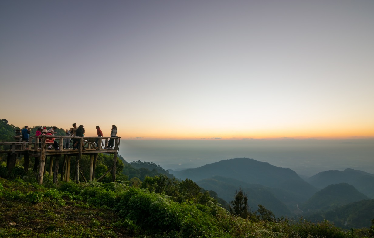
By altitude, Doi Ang Khang ranks 15th among the country's mountain stations. The neighboring Doi Inthanon massif, which peaks at 2,565 metres, is Thailand's highest point and captures most international visitors. Doi Ang Khang remains relatively understated, making it an ideal destination for those seeking accessible trekking that blends nature with cultural encounters.
History: from poppies to royal orchards
During the twentieth century, several ethnic minorities settled in the massif. The Lahu, Hmong, Lisu and Palaung fled Myanmar and Chinese Yunnan to establish themselves in the heights of northern Thailand. Until 1969, the region remained dominated by poppy fields, the primary resource for local cultivators.
That same year, King Bhumibol Adulyadej (Rama IX) inspected the mountain. Witnessing the grip of poppy cultivation, he launched an agronomic research station designed to identify substitute crops suited to the temperate climate and altitude. The project formed part of a broader highland development policy: crop selection, yield measurement, farmer training. The gradual conversion of land enabled mountain dwellers to derive steady income from legal crops and helped, over several decades, to transform the local economy.
What to see on the massif
All points of interest are organized along a route of approximately 3 km, accessible by vehicle on sometimes steep slopes. Hiring an experienced mountain driver is safer than driving yourself.
The royal agricultural research station
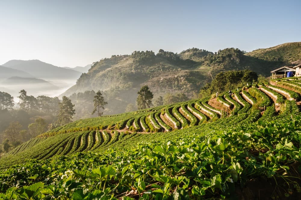
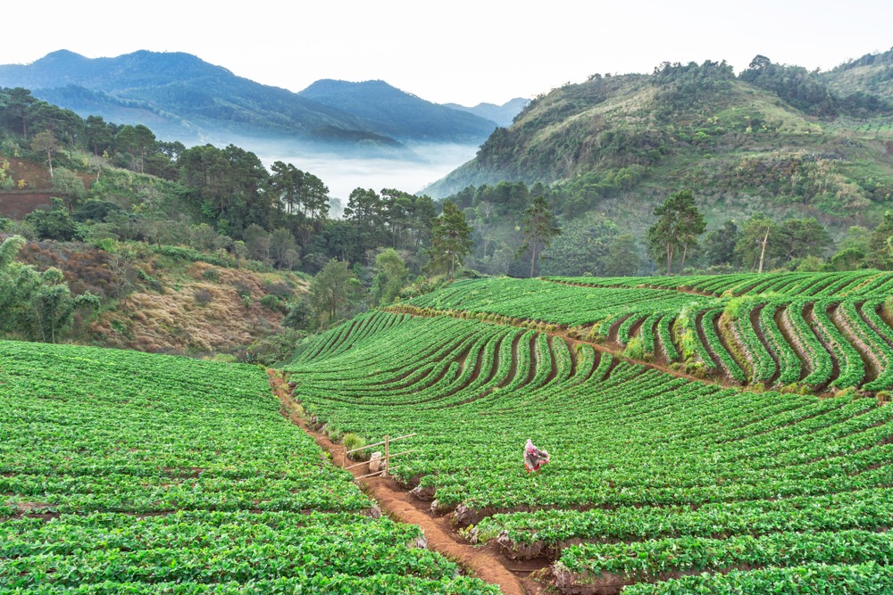
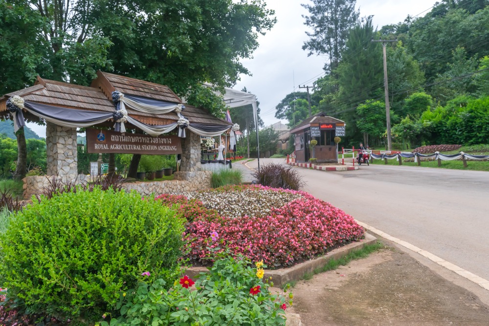
This is the massif's main attraction. The greenhouses and orchards showcase species unusual at these latitudes: peach trees, plum trees, kiwis, strawberry plants, rhubarb, as well as flower production (notably roses) and a bonsai garden inspired by Japanese aesthetics. The methods employed follow organic farming principles. The visitor centre, reminiscent of a mountain lodge, offers food and hot beverages before heading back down.
Ban Khum, the main settlement
Located on the massif, Ban Khum is the largest village in the area. Here you'll find accommodation (including an upscale hotel), restaurants, shops and an ATM. The morning market is ideal for purchasing local crafts: tunics, shawls, hats, bracelets and tapestries.
Ban Nor Lae and the Palaung community
At the entrance to Ban Nor Lae, residents are recognized by their purple sarongs, sometimes cinched with a black or silver band. The Palaung arrived from Myanmar's Shan State about fifty years ago, fleeing armed conflict. Their bamboo dwellings, whose doors face east, are a distinctive feature of their vernacular architecture.
Ban Khop Dong and the Lahu community
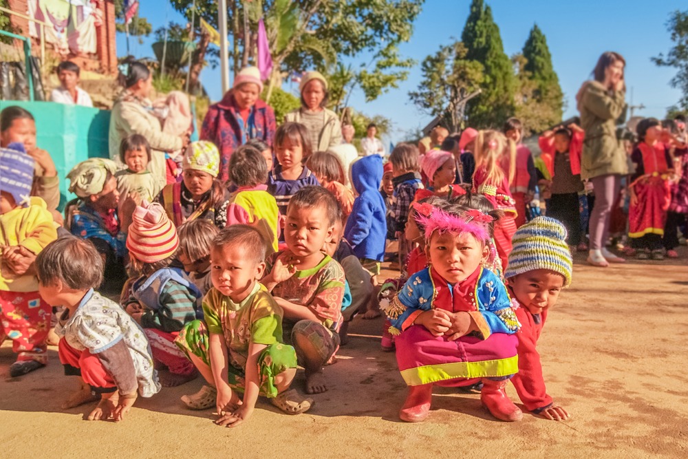
At Ban Khop Dong, the Lahu community lives in wooden houses. The economy relies on rice and maize cultivation, supplemented by women's basket weaving: hand-woven baskets, headwear and mats. Older generations still wear traditional costumes, while younger people have adopted contemporary wardrobes.
Practical information
Access to the massif is unrestricted. A modest entrance fee is charged at the royal agricultural station, plus a small vehicle parking fee. Rates and hours are subject to change: it's useful to verify with your service provider before departure.
Allow a full day to explore the station, visit the villages and enjoy the panoramic views. The trails require no special fitness level, but slip-resistant footwear is recommended.
When to visit
The most favorable period extends from November to March, during the dry season. The sky is clear, orchards bloom according to the month, and temperatures remain comfortable. The annual average hovers around 17°C, with a marked range between daytime (up to 29°C) and night-time (around 11°C). Pack warm clothing for evenings and early mornings.
From May to October, the rainy season brings heavy precipitation and reduced visibility. This period is not recommended.
How to get there
Doi Ang Khang is not served by public transport. From Chiang Mai, access is by private vehicle, along a road that crosses Fang district then climbs in hairpin turns to the massif. The journey takes several hours depending on traffic conditions. Renting a vehicle with an English-speaking driver is the most comfortable option, and by far the safest given the elevation changes and tight bends at the end of the route.
In the surrounding area
The Fang sector offers several worthwhile extensions for those with more than one day:
Wat Tham Pha Plong: a temple-cave in a forest setting, accessible via a long staircase through vegetation.
Martyrs' Memorial Museum: a memorial site linked to Kuomintang history in the border region.
Doi Inthanon National Park, at greater distance, for a contrast with the country's highest peak.
Frequently asked questions
A full day allows you to cover the royal agricultural station, the main tribal villages and the viewpoints along the approximately 3 km route. For an overnight stay, Ban Khum offers accommodation options.
Yes, access between sites is unrestricted. An experienced driver remains advisable for mountain roads. Village visits can be done independently, with respect for the communities.
Warm clothing for evenings (temperatures can drop to around 11°C), a windproof jacket and closed slip-resistant footwear. Daytime remains mild, averaging around 17°C.
Yes, Ban Khum village concentrates most of the accommodation: an upscale hotel, guesthouses, restaurants and an ATM.
To incorporate Doi Ang Khang into a broader itinerary in northern Thailand, consult our suggestions for trips to Thailand.
Photos
Also discover
Ban Khum
An agricultural village at 1,300 m altitude north of Chiang Mai, Ban Khum is the legacy of the royal project that replaced opium poppies with strawberries and flowers.
Fang
At the gateway to northern Chiang Mai, Fang reveals its thermal springs, misty peaks, and ethnic villages—far from the beaten tourist path.
Ban Khop Dong
Highland Lahu village in the Doi Ang Khang massif, north of Chiang Mai. Animist culture, mountain agriculture and history linked to the Royal Project.
Interested in this visit?
We can include it in your personalised itinerary.