Ban Khum
Ban Khum
Doi Ang Khang, Mae Sun, Amphoe Fang, Province de Chiang Mai 50320, Thaïlande
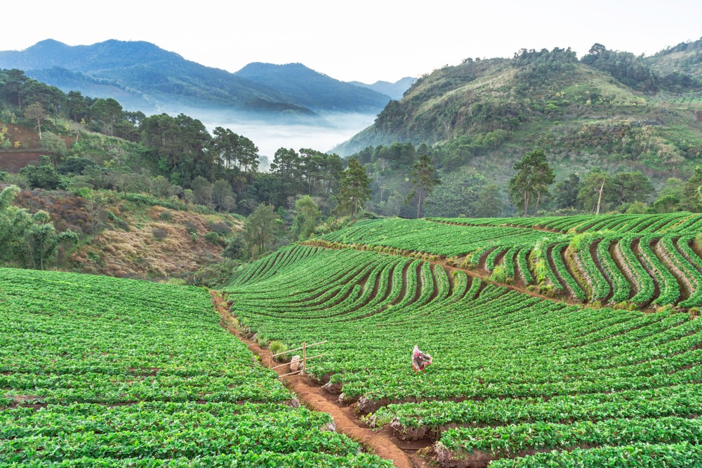
An agricultural village at 1,300 m altitude north of Chiang Mai, Ban Khum is the legacy of the royal project that replaced opium poppies with strawberries and flowers.
Ban Khum is an agricultural village perched at over 1,300 meters altitude in the mountains of northern Thailand, approximately 4 hours' drive from Chiang Mai. Once a center for opium poppy cultivation, this small town reinvented itself thanks to a royal project launched by King Rama IX and now produces strawberries, flowers, and temperate fruits. It is also a meeting point between several hill tribe ethnicities.
Why visit Ban Khum
Ban Khum reveals an unexpected side of Thailand: a cool climate, terraced strawberry and flower plantations, and a cultural tapestry that tells the turbulent history of the Burmese border. The village concentrates within a few kilometers an exemplary royal agricultural project, markets where Lahu, Karen, Thai Yai and Palaung peoples gather, and a Chinese community descended from Kuomintang soldiers exiled after 1949.
The mountainous setting, on the edge of Doi Ang Khang National Park, also makes it an excellent base for exploring highland villages and ridge trails.
History: from poppies to royal orchards
Ban Khum belongs to the historic region of the Golden Triangle, long associated with the opium trade that flourished in these border mountains until the mid-20th century. Poppies were the main resource for local farmers, in a context of isolation and instability.
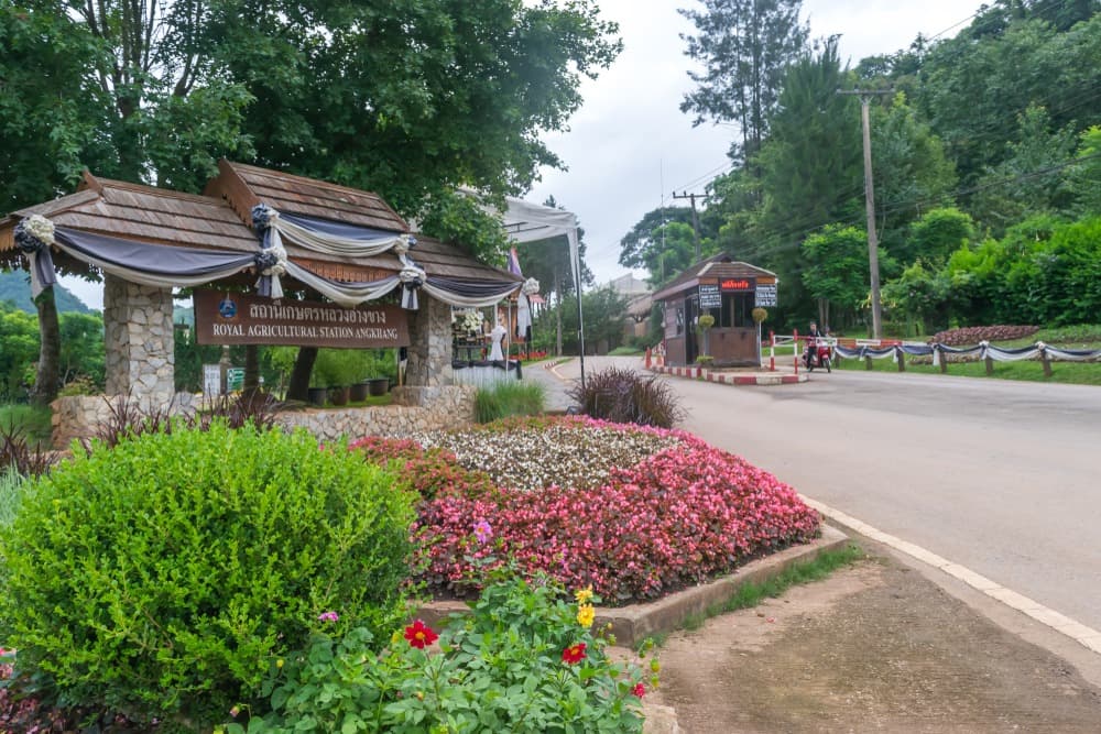
In the late 1960s, King Bhumibol Adulyadej (Rama IX) launched a royal agricultural station designed to replace illicit crops with productions suited to the highland climate. Farmers gradually experimented with strawberries, persimmons, plums, raspberries, and also lavender, rhododendrons, roses, camellias and orchids. The experiment succeeded: within a few decades, Ban Khum transformed from an opium-based economy to a recognized horticultural one.
The village also welcomed several waves of refugees. Alongside hill tribe ethnicities long present in the region, a Chinese community settled, made up of Kuomintang soldiers who established themselves with their families after the Communist takeover in China.
What to see and do
The royal agricultural station
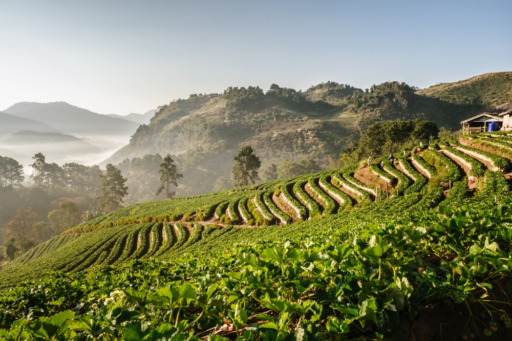
This is the heart of any visit. The plots are arranged around the village and showcase the project's flagship crops: strawberry plants in tight rows, temperate fruit orchards, flower greenhouses and ornamental beds. Signs explain the program's history and the work conducted with local communities. Allow one to two hours to explore on foot.
The market and crafts
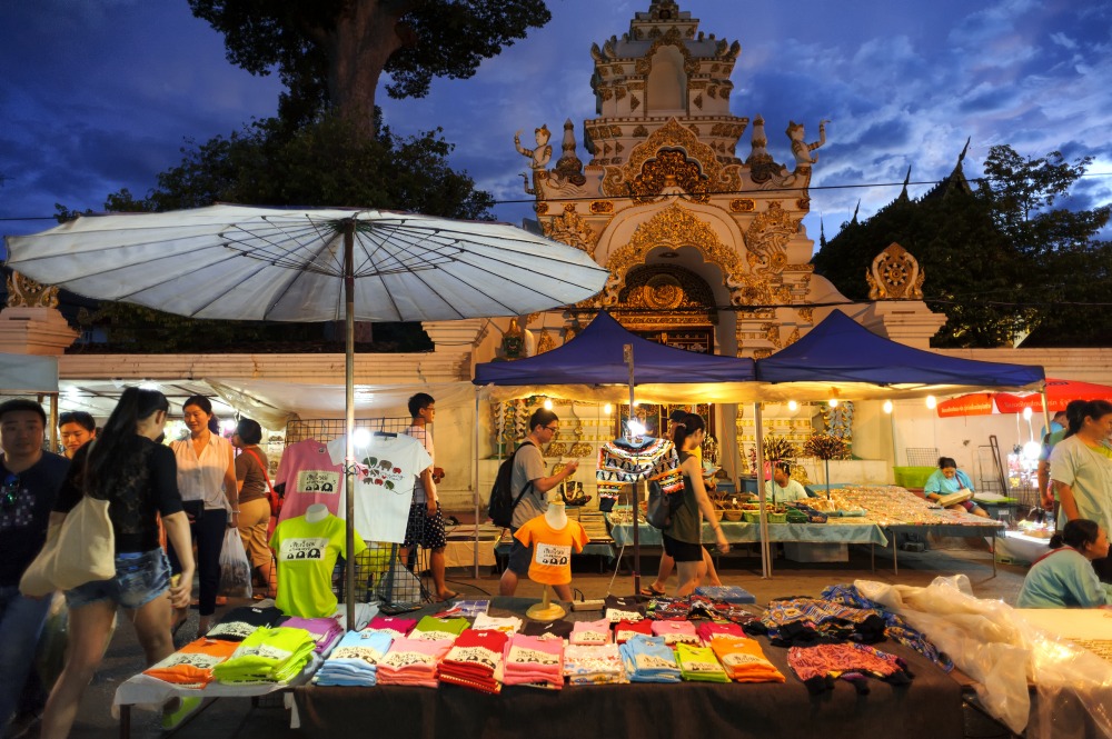
Ban Khum's market brings together several ethnicities selling their wares: woven bags, bracelets, embroidery, tapestries, as well as fresh fruit, strawberry preserves and teas grown on neighboring slopes. It's one of the best places to purchase handicrafts directly from producers.
Plantations and landscapes
Beyond the station, trails cross orchards, flower fields and wooded areas. The hillsides offer sweeping views over the valleys, and temperatures remain cool even during hot season thanks to the altitude.
Practical information
- Altitude: over 1,300 meters
- Duration of visit: a half-day for the village and station, a full day if combined with neighboring villages
- Accommodation: a few inns and guesthouses on site; more options in Doi Ang Khang
- Equipment: bring a fleece jacket, especially in the evening and cool season
When to visit
The best period runs from November to April, when skies are clear and temperatures cool yet pleasant. December and January can be quite cold in the morning. The rainy season (June-October) makes mountain roads more challenging and limits visibility, though vegetation is lush. Plantation flowering is best observed during the dry season.
How to get there
Ban Khum is located less than 40 km from Fang and approximately 4 hours' drive from Chiang Mai. Two routes are possible:
- Via Fang: Highway 107 heading north, then turn onto Highway 1249 which climbs toward the mountain. This is the most direct route.
- Via Arunothai: Highway 107, then 1178 and finally 1340. More winding, but with beautiful scenery.
Access roads are narrow and steep: a well-maintained vehicle is essential, and a local driver is recommended if you're not comfortable with mountain driving.
Nearby attractions
Ban Khum is the administrative seat of Doi Ang Fang and serves as a base for exploring neighboring highlands:
- The Doi Ang Khang massif, a mountain station and national park.
- Ban Nor Lae, a Palaung village perched facing the Burmese border.
- Ban Khop Dong, another ethnic village in the highlands.
- The Martyrs' Memorial Museum, which traces the history of Chinese soldiers exiled to the region.
Frequently asked questions
The dry season, from November to April, offers the most pleasant conditions. Mornings can be cold in December and January due to the altitude.
Allow a half-day to visit the village, agricultural station and market. A full day allows you to combine visits with neighboring villages around Doi Ang Khang.
The journey takes approximately 4 hours by road. The simplest route goes through Fang via Highway 107 then Highway 1249. An alternative uses Highways 107, 1178 and 1340 via Arunothai.
The village and surrounding area are home to Lahu, Karen, Thai Yai and Palaung communities, as well as a Chinese community descended from Kuomintang soldiers exiled after 1949.
Hill tribe crafts (bags, bracelets, embroidery, tapestries) and agricultural station products: strawberries, preserves, teas, and temperate fruits depending on the season.
To include Ban Khum in an itinerary through northern Thailand, consult our suggestions for trips to Thailand.
Photos
Also discover
Doi Ang Khang Massif
A massif in northern Thailand near Chiang Mai, Doi Ang Khang combines a royal agricultural station, temperate orchards and Lahu and Palaung villages on the Burmese border.
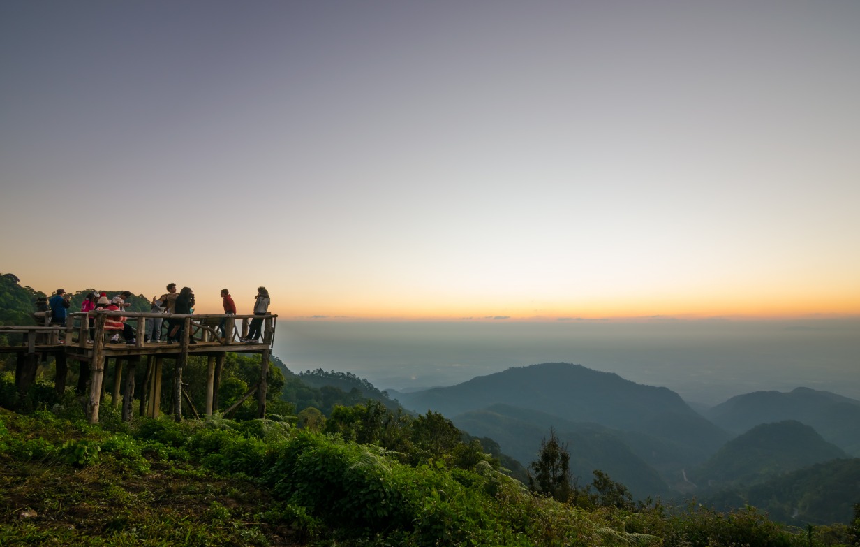
Fang
At the gateway to northern Chiang Mai, Fang reveals its thermal springs, misty peaks, and ethnic villages—far from the beaten tourist path.
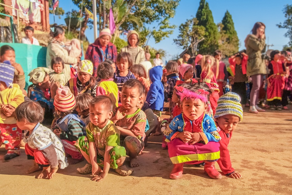
Ban Khop Dong
Highland Lahu village in the Doi Ang Khang massif, north of Chiang Mai. Animist culture, mountain agriculture and history linked to the Royal Project.
Interested in this visit?
We can include it in your personalised itinerary.