Kok River
Kok River
Kok, Mueang Chiang Rai District, Chiang Rai 57100, Thaïlande
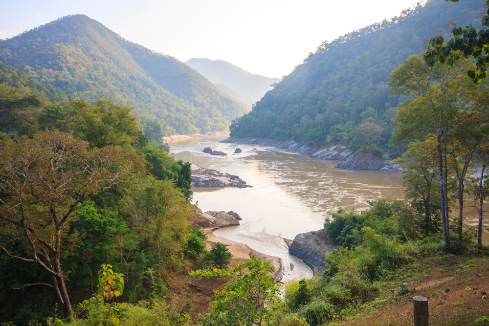
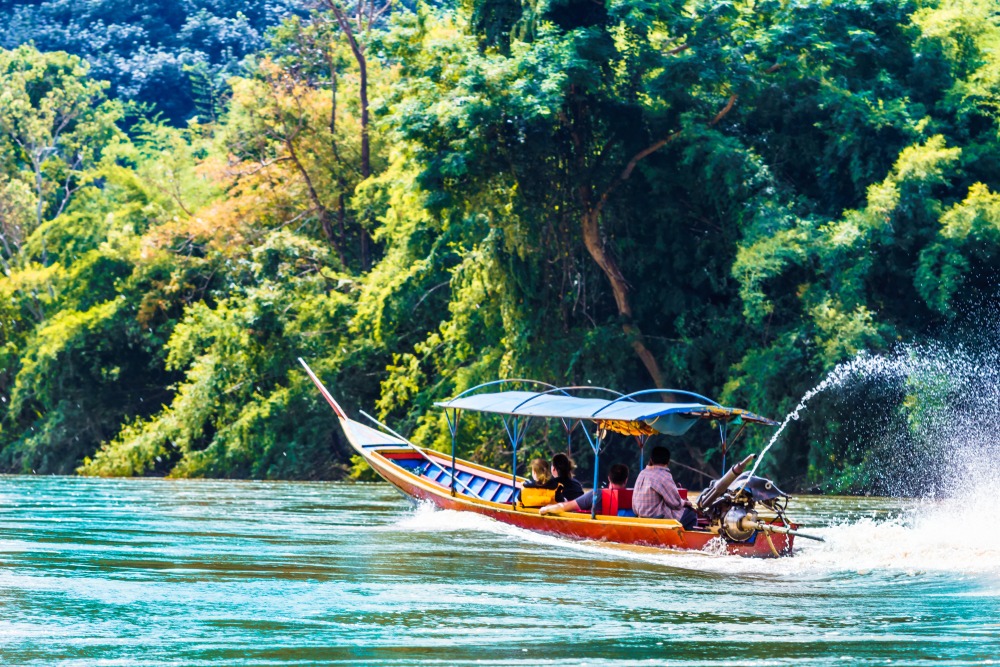
The Kok River connects Tha Ton to Chiang Rai over 100 km of navigable waters, passing through rice paddies, Karen and Akha villages, and hot springs in northern Thailand.
The Kok River winds 285 km from Shan State in eastern Burma to its confluence with the Mekong in northern Thailand. Between Tha Ton, a border village, and Chiang Rai, it traces a favored navigation route through terraced rice paddies, forested hills, and mountain tribe villages. It's one of the most serene ways to approach northern Thailand and the edges of the Golden Triangle.
Why visit the Kok River
The Kok River draws travelers for three main reasons:
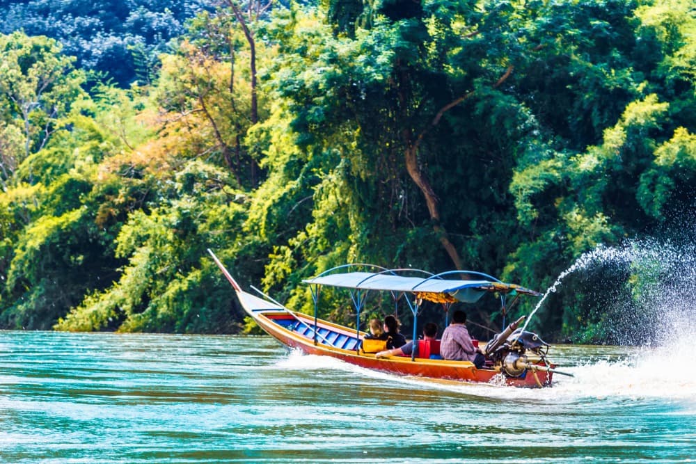
An accessible river descent: 100 km of navigable waterway between Tha Ton and Chiang Rai on a wide, shallow river with moderate current, ideal for longtail boats and bamboo rafts.
Diverse landscapes: alternating rice paddies, orchards, banana plantations, tea gardens, and forested hills, dotted with small temples and rural hamlets.
Access to mountain cultures: Karen and Akha villages perched on the riverbanks in a region still relatively untouched by mass tourism.
The river originates in Burma, in eastern Shan State, enters Thailand at Tha Ton, crosses Chiang Rai Province, and flows into the Mekong. It supplies irrigation for the region's rice cultivation, partly through a dam near Chiang Rai.
What to see along the river
Tha Ton, the departure point
Tha Ton, a border village in the north, serves as the embarkation point for the descent to Chiang Rai. The village offers several temples, a striking white chedi visible from the river, and a setting of hills and rice paddies worth an overnight stay before boarding the boat. The surroundings host several tribal communities, making the markets and hill trails particularly interesting.
Wat Phra That Sop Fang
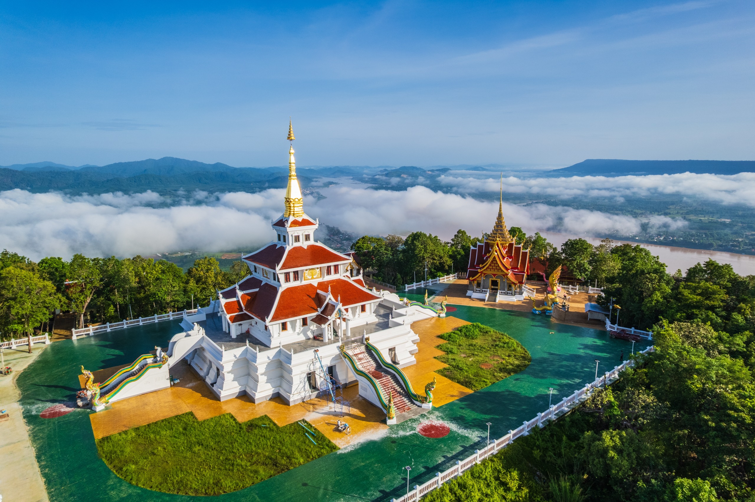
About thirty minutes after leaving Tha Ton, the boat passes Wat Phra That Sop Fang, an ancient Buddhist sanctuary nestled against a hillside. A naga-lined staircase climbs from the riverbank to the summit chedi. This centuries-old site is one of the most photographed landmarks of the descent.
Mae Salak
The village of Mae Salak, 20 km from Tha Ton, marks a shift in the landscape: beyond it, the river cuts between more densely forested slopes, the banks turn rocky, and hamlets become sparser. Water buffalo, children playing on the banks, and giant ferns compose the scenery until the approaches to Chiang Rai.
Ruammid and Huai Kaeo waterfall
Twenty kilometers upstream from Chiang Rai, the Karen village of Ruammid is a classic stop. From the village, a 3 km hiking trail leads to the Huai Kaeo waterfall, shaded and swimmable. It's also at Ruammid where you'll find one of the region's elephant camps — see our warning below.
Hot springs and Akha villages
Further downstream, several thermal springs surface near Akha villages where bamboo houses and traditional dress remain present. The water temperature permits swimming. A few charming lodges offer access to the pools and shuttle service to Chiang Rai.
Practical information
Longtail boat: the Tha Ton – Chiang Rai descent typically takes half a day to a full day, depending on stops. It's the simplest and most common option.
Bamboo raft: a slower descent spread over roughly three days with nights in riverside villages. Best arranged through a local agency.
Accommodation: guesthouses in Tha Ton and Ruammid, comfortable hotels in Chiang Rai. A few isolated bungalows near the hot springs.
Elephants: elephant riding is not recommended due to problematic training and captivity conditions. Favor facilities that offer walking alongside the animals, without riding.
Budget: public boat descent remains affordable; packages with guides, stops, and homestays fall into the mid-range budget category.
When to visit
The best period for the descent runs from November to February, during the dry season: cool mornings, clear skies, adequate water levels. From March to May, heat rises and agricultural smoke can limit visibility. June to October, the monsoon swells the river and makes navigation unpredictable; certain sections may close after heavy rains.
How to get there
Two main entry points:
From Chiang Mai: several daily buses depart from Chang Puak bus station heading to Tha Ton (roughly 4 hours by road). Departures concentrated in the morning.
From Chiang Rai: you can embark in the opposite direction (upstream toward Tha Ton) from the city's dock, or take bus connections to Tha Ton.
From Tha Ton, longtail boats typically depart early afternoon to reach Chiang Rai by day's end. It's best to overnight in Tha Ton before the descent.
Nearby attractions
Chiang Rai, the logistical hub of the north and gateway to the Golden Triangle.
Doi Mae Salong mountain and its Yunnanese-origin villages.
Mae Salong tea plantations, on the nearby heights.
Mae Sai waterfall, near the Burmese border.
The Martyrs' Memorial Museum, for regional historical context.
Frequently asked questions
Frequently asked questions
By longtail boat, the Tha Ton – Chiang Rai descent takes half a day to a full day depending on stops. By bamboo raft, expect roughly three days with nights in riverside villages.
No. This practice is associated with problematic training conditions. Prefer sanctuaries that offer walking alongside the animals, without riding, with feeding and observation activities.
The dry season, from November to February, offers the best navigation and visibility conditions. The monsoon (June-October) can disrupt river traffic.
To integrate the Kok River descent into a broader itinerary, explore our Thailand journeys.

Photos
Nearby
Also discover

Doi Din Dang Pottery Studio
Located 12 km from Chiang Rai, ceramicist Somluk Pantiboon's Doi Din Dang studio preserves a craft blending Japanese traditions with northern Thai raw materials.

Ban Tham Pha Tong
A rural village in Chiang Rai province, 15 km from the city and its airport, Ban Tham Pha Tong serves as a peaceful base to explore northern Thailand.
Wat Rong Sua Ten, the Blue Temple of Chiang Rai
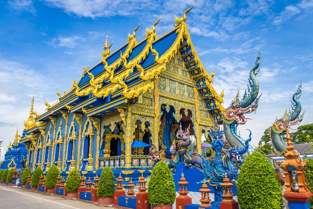
Wat Rong Sua Ten, or the Blue Temple, is one of Chiang Rai's most distinctive sanctuaries, designed by a disciple of the architect behind the White Temple.
Wat Huay Pla Kang
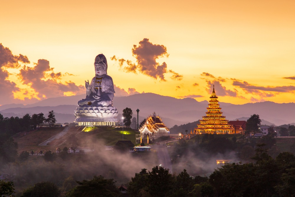
Located 6 km from Chiang Rai, Wat Huay Pla Kang combines a giant Guanyin statue, a nine-tiered chedi and a white Ubosot in a rare Mahayana syncretism in Thailand.
Interested in this visit?
We can include it in your personalised itinerary.