Doi Inthanon National Park
Doi Inthanon National Park
119, Tambon Ban Luang, Amphoe Chom Thong, Chang Wat Chiang Mai 50160, Thaïlande
Located 100 km from Chiang Mai, Doi Inthanon National Park protects Thailand's highest peak, four major waterfalls and an avifauna of 306 species.
Doi Inthanon National Park protects, roughly 100 kilometres southwest of Chiang Mai, Thailand's highest point. Spanning 48,200 hectares, it encompasses waterfalls, cloud forests, hiking trails and Karen villages, forming one of northern Thailand's premier natural destinations.
Why visit Doi Inthanon Park
The park combines several distinctive features that make it a leading day trip from Chiang Mai. It is home to Doi Inthanon peak, which rises to 2,575 metres, nicknamed the "Roof of Thailand". With 306 bird species recorded, it ranks second among Thai reserves for avifaunal richness. Four major waterfalls, two royal pagodas and several marked trails allow visitors to explore from multiple angles—birdwatching, hiking, highland culture, or simply a nature-filled day out.
History and park context
The park was inaugurated in 1972, at a time of growing concern over deforestation in the northern highlands. It is framed by the Thanon Thong Chai mountain range, a southward extension of the Burmese Himalaya.
The region has long been inhabited by Karen and Hmong peoples, who practise mountain agriculture. Several villages remained within the protected area after the park's creation, explaining the coexistence of strictly regulated forest zones and terraced farmland.
What to see and do
The summit and Ang Ka trail
A paved road leads to Doi Inthanon's peak. Near the highest point, the Ang Ka nature trail is a short, accessible route on wooden boardwalks through cloud forest draped with moss and ferns. It is one of the park's most visited areas, particularly popular with amateur birdwatchers.
The twin pagodas
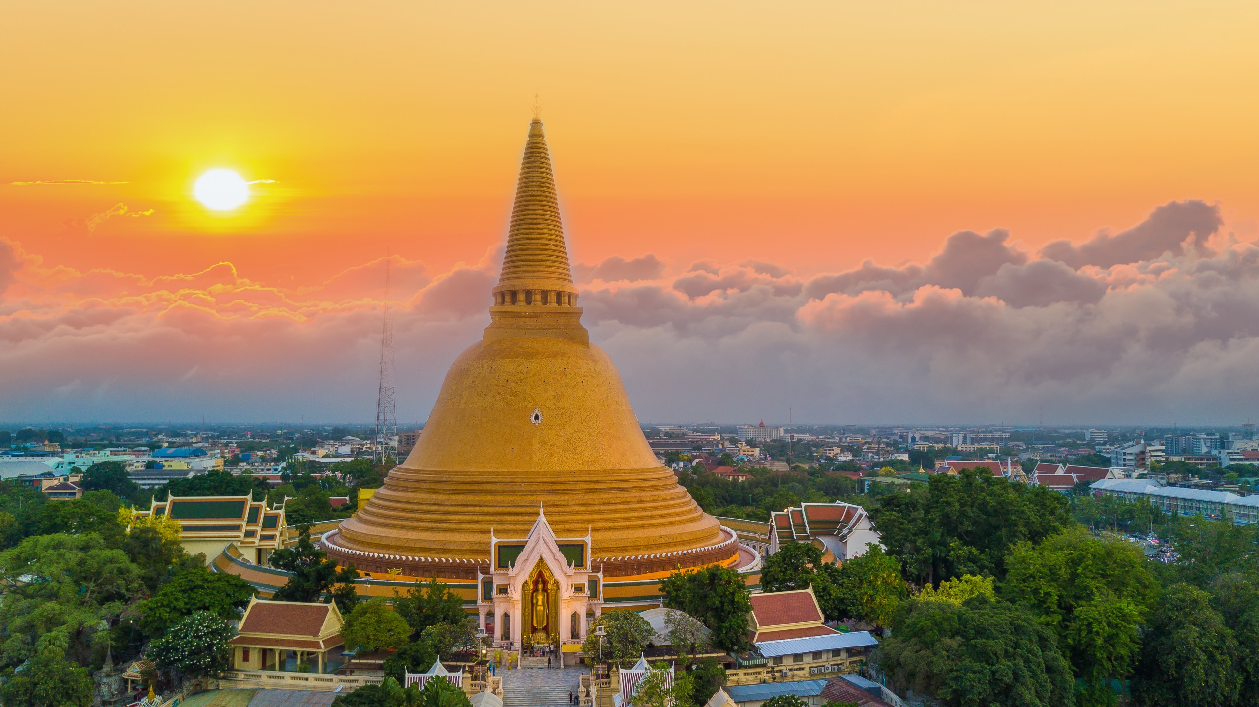
Roughly 2 km from the summit, two modern stupas face each other: Phra Mahathat Naphamethanidon, dedicated to King Rama IX, and Phra Mahathat Naphaphonphumisiri, dedicated to Queen Sirikit. Both structures were erected for the royal couple's diamond jubilees. Their landscaped gardens and panoramic terraces offer sweeping views across surrounding valleys on clear days.
The Kew Mae Pan trail
More demanding than Ang Ka, Kew Mae Pan runs along an open ridge above the valley. Accompaniment by a local forest ranger is mandatory, and the trail typically closes during the rainy season. It is one of few places where you may spot the Himalayan goral, a shy mammal related to mountain goats.
The waterfalls
The park features four principal waterfalls:
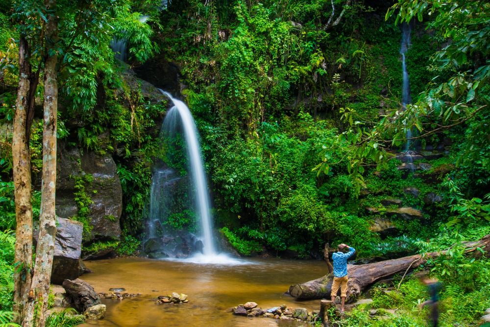
Mae Pan: the most dramatic, with around 280 metres of drop.
Sri Phum: accessible from the main road.
Wachi Ratan: a broad curtain of water edged by picnic areas.
Mae Klang: closest to the park entrance, popular with families.
The Jeep Trail
Spanning 37.5 km, this rough track is used by birdwatchers exploring the park in four-wheel-drive vehicles. It passes through several vegetation zones and accesses less-frequented areas of the park.
The Karen village of Baan Pa Pong Piang
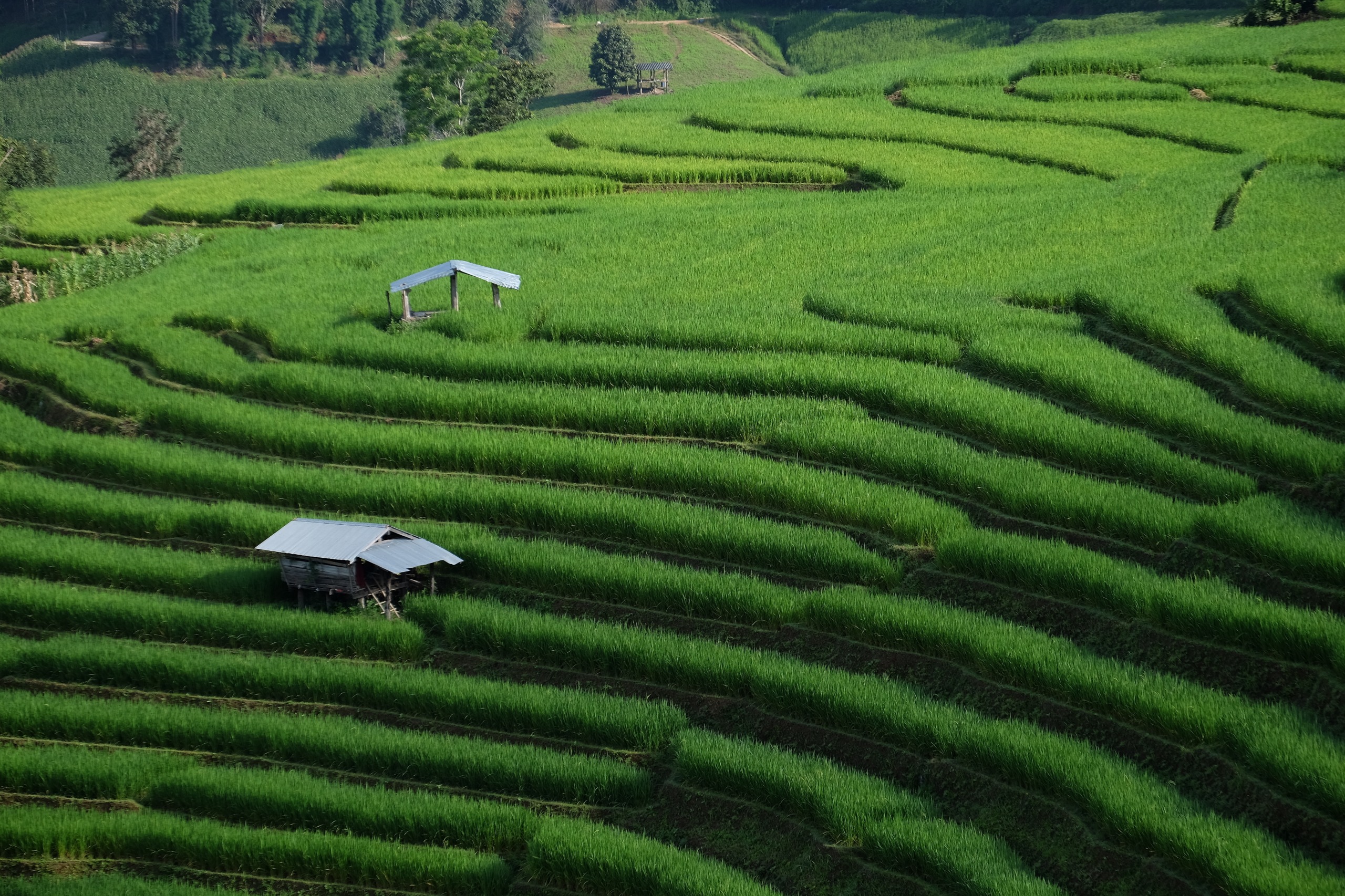
Located west of the park, Baan Pa Pong Piang is known for its terraced rice paddies, particularly photogenic at the end of the rainy season, when the slopes turn tender green then golden before harvest.
When to visit
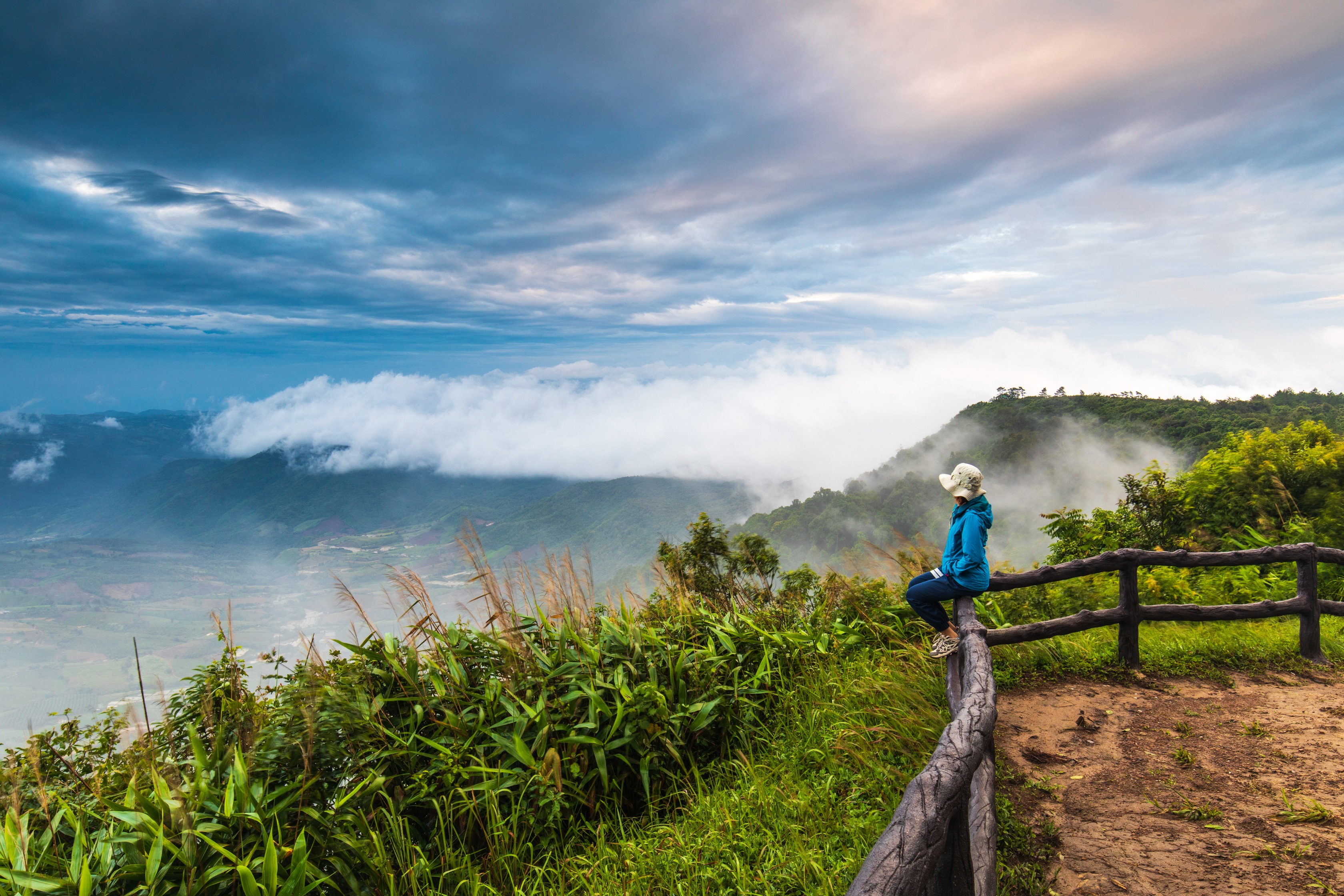
The cool season, from November to February, is the most popular period. Temperatures at the summit can drop near freezing at night, and mornings are often clear, with seas of cloud rolling over the valleys. It is also when Himalayan cherry blossoms bloom throughout the park.
From June to October, the monsoon makes trails slippery and some routes close, but waterfalls surge at full force and terraced paddies are at their most beautiful. The hot season (March–May) remains pleasant at altitude, though dry haze may limit visibility.
Practical information
Entrance fee: modest rate for adults, half-price for children. Rates differ for foreign and Thai visitors.
Duration of visit: allow a full day to combine the summit, pagodas and one waterfall; two days if you wish to add a guided trail and a Karen village.
Equipment: bring a fleece or windbreaker even in the hot season—the summit is noticeably cooler than Chiang Mai.
Regulated trails: Kew Mae Pan and certain high-altitude routes require a forest ranger, hired on-site.
How to get there
The park lies in Chom Thong district, roughly 100 km from Chiang Mai, about 90 minutes' drive. From Chiang Mai, take the main southwest road to Chom Thong, then follow signs to the park entrance.
Several options are available to visitors: shared songthaew minibus from Chang Phueak bus station (economical but slow), an organised day tour (the simplest option, combining multiple sites) or private vehicle with driver (ideal for setting your own pace in a park where attractions are spread out). Scooter rental is possible but not recommended for inexperienced riders due to steep grades.
Nearby attractions
The park combines easily with a visit to Chiang Mai and its major sites:
Wat Phra Singh, one of the old city's most revered temples.
Wat Chedi Luang, famed for its partially collapsed great stupa.
Wat Sri Suphan, the "Silver Temple", in the artisans' quarter.
Warorot Market, to soak in local daily life.
Frequently asked questions
Frequently asked questions
A guide is not mandatory for paved roads, the summit, pagodas and most waterfalls. However, the Kew Mae Pan trail and certain high-altitude routes require a forest ranger, hired at the trail entrance.
A full day allows you to see the summit, the twin pagodas and one waterfall. To add a guided trail and a Karen village like Baan Pa Pong Piang, plan for two days with a night on site or at the park's edge.
Yes. The Ang Ka trail is short and level, Mae Klang and Wachi Ratan waterfalls are accessible by car, and the road goes directly to the summit. More demanding trails can be skipped without missing the essentials.
From November to February, the cool season brings both resident species and winter migrants from China and the Himalaya. Early morning hours near the pagodas and along Ang Ka trail are most productive.
Yes. Park administration manages bungalows and a campsite. Several guesthouses run by Karen families, particularly around Baan Pa Pong Piang, also offer immersive accommodation immediately adjacent to the park.
Plan your trip
Doi Inthanon Park fits naturally into most itineraries focused on northern Thailand. To incorporate it into a tailor-made circuit combining Chiang Mai, its temples and mountain villages, consult our suggestions for Thailand itineraries.

Photos
Also discover
Doi
Located 13 km from Chiang Mai, the Doi Suthep-Pui massif brings together a national park, the golden sanctuary of Wat Phra That Doi Suthep and the royal Bhubing Palace.
A Stay in Ban Pa Pong Piang: Thailand's Most Stunning Terraced Rice Fields
Discover Ban Pa Pong Piang, home to some of Thailand's most breathtaking terraced rice fields, and experience authentic village life nestled in the mountains of northern Thailand.
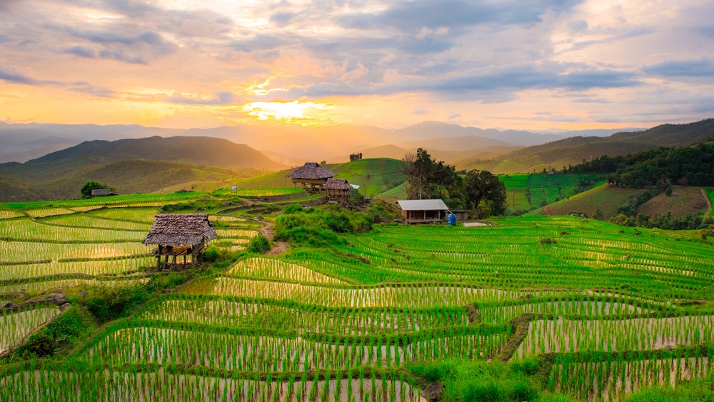
Terraced Rice Fields of Baan Pa Pong Piang
Two hours from Chiang Mai, the Karen village of Baan Pa Pong Piang cascades its terraced rice fields at the foot of Doi Inthanon, visible from July to October.
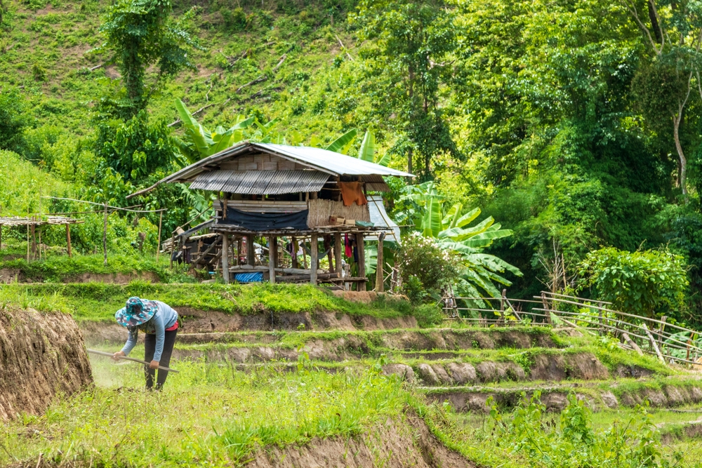
Mae Wang
A rural valley 30 km from Chiang Mai, Mae Wang combines rafting on the Wang River, a national park at the foot of Doi Inthanon, and Karen and Hmong villages.
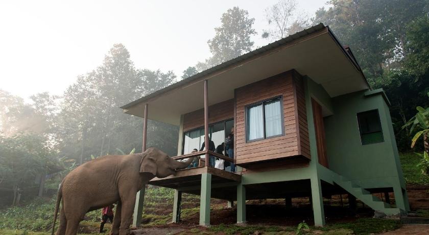
Chiang Mai Elephant Friends
Lodge in bungalows in the Mae Wang valley, 30 minutes from Chiang Mai, dedicated to elephant activities and jungle trekking.
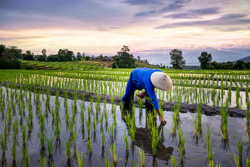
Mae Chaem
Located 150 km from Chiang Mai, Mae Chaem showcases Lanna temples, terraced rice fields, and Hmong villages. An authentic valley nestled at the foot of Doi Inthanon.
Interested in this visit?
We can include it in your personalised itinerary.