Mae Sai Waterfall
Mae Sai Waterfall
2P38+RP2, Mae Yao, Mueang Chiang Rai, Province de Chiang Rai 57100, Thaïlande
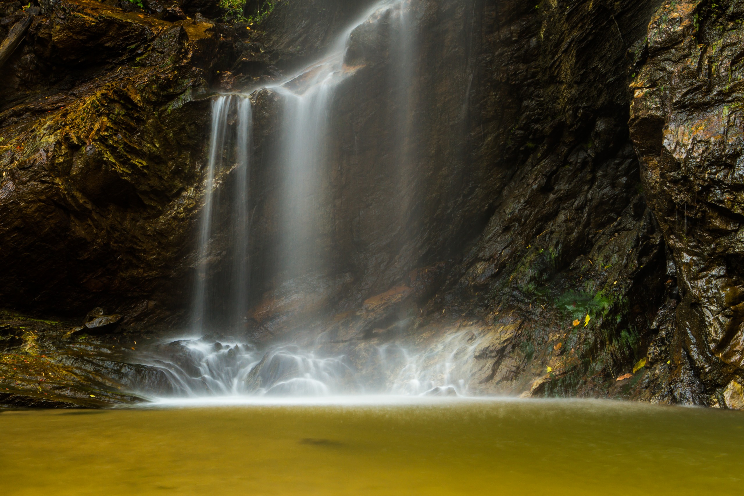
Twenty kilometers north of Chiang Rai, Mae Sai Waterfall unfolds two tiers of 15 meters within Mae Kok National Park, in the heart of the Golden Triangle.
The Mae Sai Waterfall is located roughly twenty kilometers north of Mae Sai, in Thailand's far north. Part of the Mae Kok National Park, it features two distinct tiers separated by approximately 100 meters, each about 15 meters high. The area lies within the Golden Triangle, a border region shared with Myanmar and Laos, known for its hill tribe villages and tea and coffee plantations.
Why visit Mae Sai Waterfall
The site's appeal rests on three elements: a protected forest setting, two swimming pools with different characteristics, and a cultural environment shaped by the presence of Lisu, Lahu, and Hmong communities in surrounding villages. The area remains relatively undiscovered by international travelers, who often pass through Mae Sai only to reach the Myanmar border crossing.
The cascade feeds part of local agriculture through mountain springs that flow toward paddies and plantations in the valley below. Its preservation by Chiang Rai Province's forest authorities reflects both ecological and economic considerations.
What to see and do
The two tiers of the waterfall
Two distinct trails lead to each tier of the cascade. The first level is more accessible and suits visitors simply wanting to observe the waterfall or cool off. The second level, downstream, offers a deeper pool and colder water; denser forest cover makes it the swimming spot favored by locals.
The forest and agricultural setting
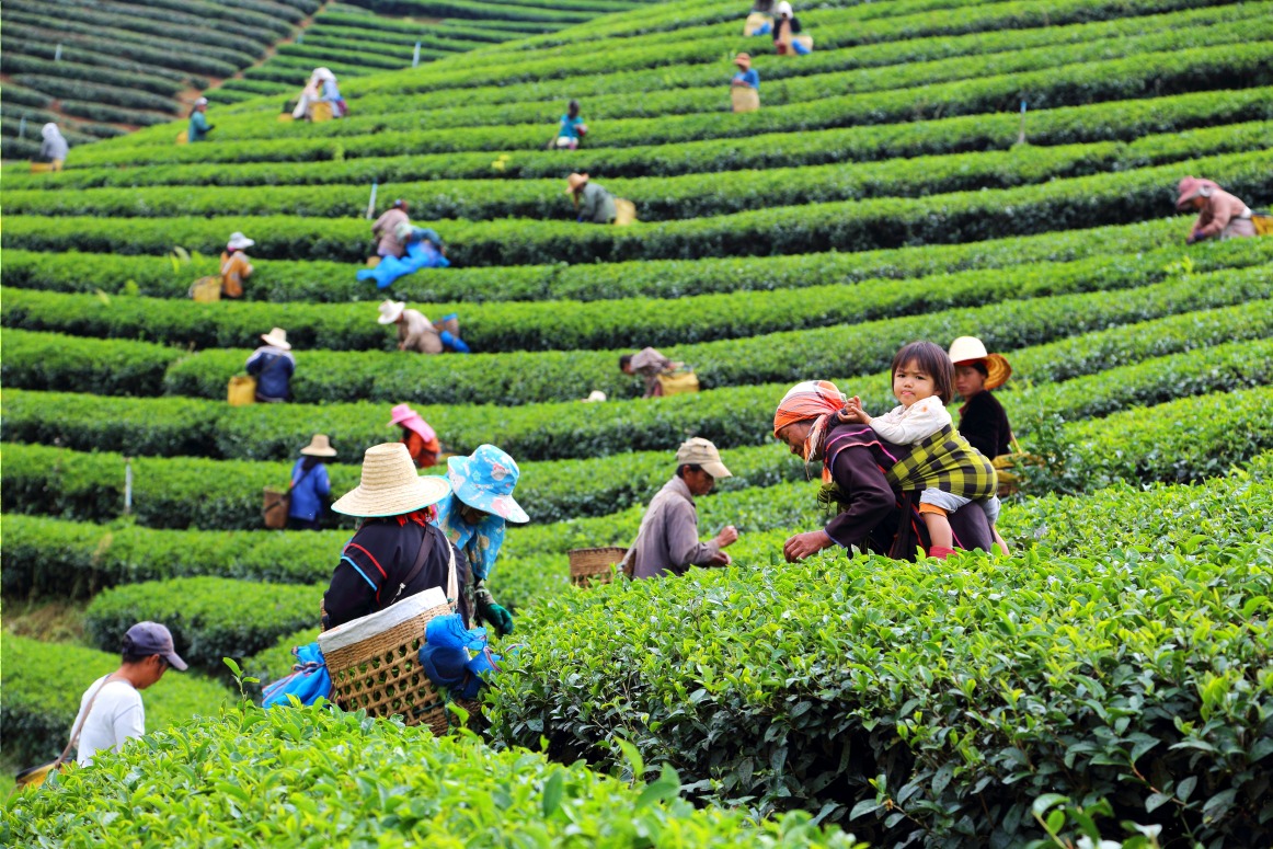
The path to the cascade winds through hillsides planted with tea, coffee, and rice. Depending on the season, you may encounter farmers working the terraced paddies. The terrain is moderate, the trails manageable, and views across Golden Triangle valleys punctuate the route.
Meeting hill tribe communities
The Lisu, Lahu, and Hmong communities inhabit hamlets scattered across the heights. Several are accessible from the main road and offer cultural stops. For a more structured experience, an English-speaking local guide is recommended to ensure authentic encounters rather than tourist facades.
Practical information
- Location: approximately 20 km north of Chiang Rai, within Mae Kok National Park.
- Access village: Ban Cha Lae, roughly 5 minutes' walk from the waterfall.
- Visit duration: allow at least half a day for travel and exploration of both tiers.
- Entrance: the waterfall is part of a national park; modest entry fees may apply depending on visitor status.
- Swimming: possible, though depth varies seasonally. Jumping from heights is inadvisable during the dry season when pools recede.
When to visit
The most favorable period spans December to April, during northern Thailand's dry season. The climate is cooler than elsewhere in the country, trails are passable, and lighting is optimal for photography. From May onward, temperatures rise and monsoon rains make paths slippery; however, waterfall flow intensifies, which may appeal to water landscape enthusiasts.
How to get there
Access from Chiang Rai is primarily by personal vehicle. Route 1207 runs along the west side, connecting Ban Rai Mu to Ban Huai Khom Nai; a large roadside parking area marks the entrance toward Ban Cha Lae, from which the final trail departs.
- Motorbike: the most practical option. Daily rentals available at moderate rates in central Chiang Rai.
- Bicycle: feasible for experienced cyclists, but the 20 km includes rolling terrain.
- Private car with driver: recommended if traveling with family or combining several Golden Triangle sites in one day.
Direct public transport (buses, minivans) between Chiang Rai and the waterfall is virtually nonexistent; either rent a vehicle or arrange a chartered songthaew.
What to see nearby
The Golden Triangle region offers several complementary sites within a half day's journey to the waterfall:
- Mae Salong, a former Yunnan Chinese highland village renowned for its tea plantations.
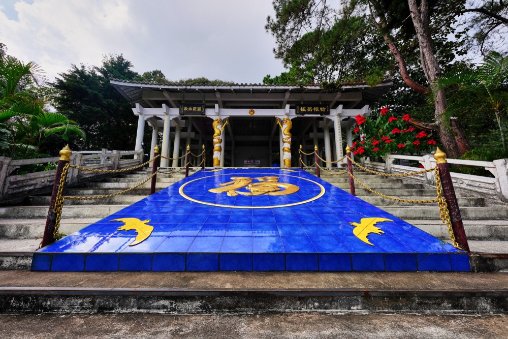
- General Tuan's Tomb, a memorial site of the Kuomintang Chinese diaspora.
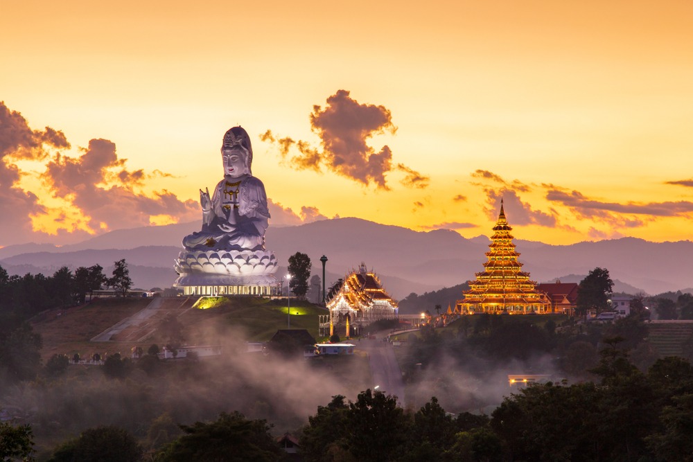
- Wat Huay Pla Kang, a contemporary temple dominated by a monumental white statue of Guan Yin.
- Boon Rawd Farm (Singha Park), a vast agricultural estate transformed into a leisure destination.
- Doi Din Dang Pottery Studio, a crafts stop along the way.
Frequently asked questions
Frequently asked questions
The waterfall lies within Mae Kok National Park. A modest entrance fee may be charged, with different rates for Thai residents and foreign visitors. Check locally on the day of your visit.
Swimming is possible, though pool depth varies significantly by season. The second level remains best suited thanks to its deeper water. Avoid any diving without verifying the actual pool level first.
Allow at least half a day from Chiang Rai: approximately 30 to 45 minutes' travel, plus 2 to 3 hours on site to explore both tiers.
Access is well-marked and doesn't require a guide for the waterfall itself. However, an English-speaking local guide adds real value when visiting Lisu, Lahu, and Hmong villages nearby and understanding the Golden Triangle context.
December to April, during the dry season, to enjoy passable trails and pleasant weather in northern Thailand.
Incorporating Mae Sai into your itinerary
The waterfall fits naturally into a Golden Triangle circuit, complementing Chiang Rai temples and the highlands of Mae Salong. To build a tailor-made journey through northern Thailand, explore our itineraries on Thailand travel.
Nearby
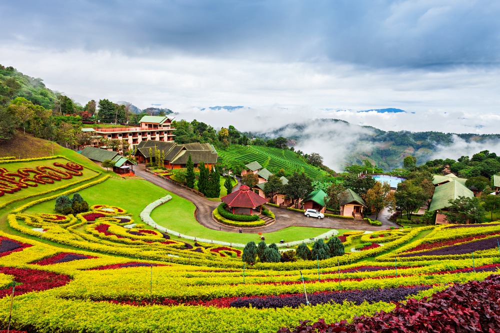
Also discover
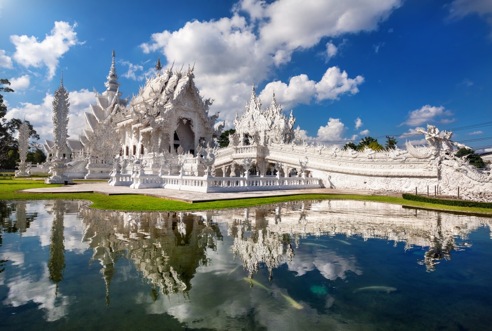
Chiang Rai
Former capital of the Lanna kingdom, Chiang Rai enchants with its contemporary temples, vibrant markets and gateway access to the Golden Triangle. Complete guide for your stay.
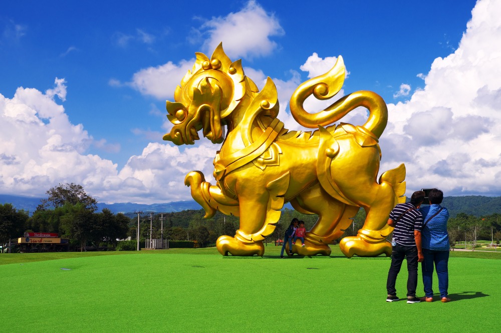
Singha Park (Boon Rawd Farm)
Formerly Boon Rawd Farm, Singha Park combines Oolong tea plantations and outdoor activities just ten minutes from Chiang Rai.
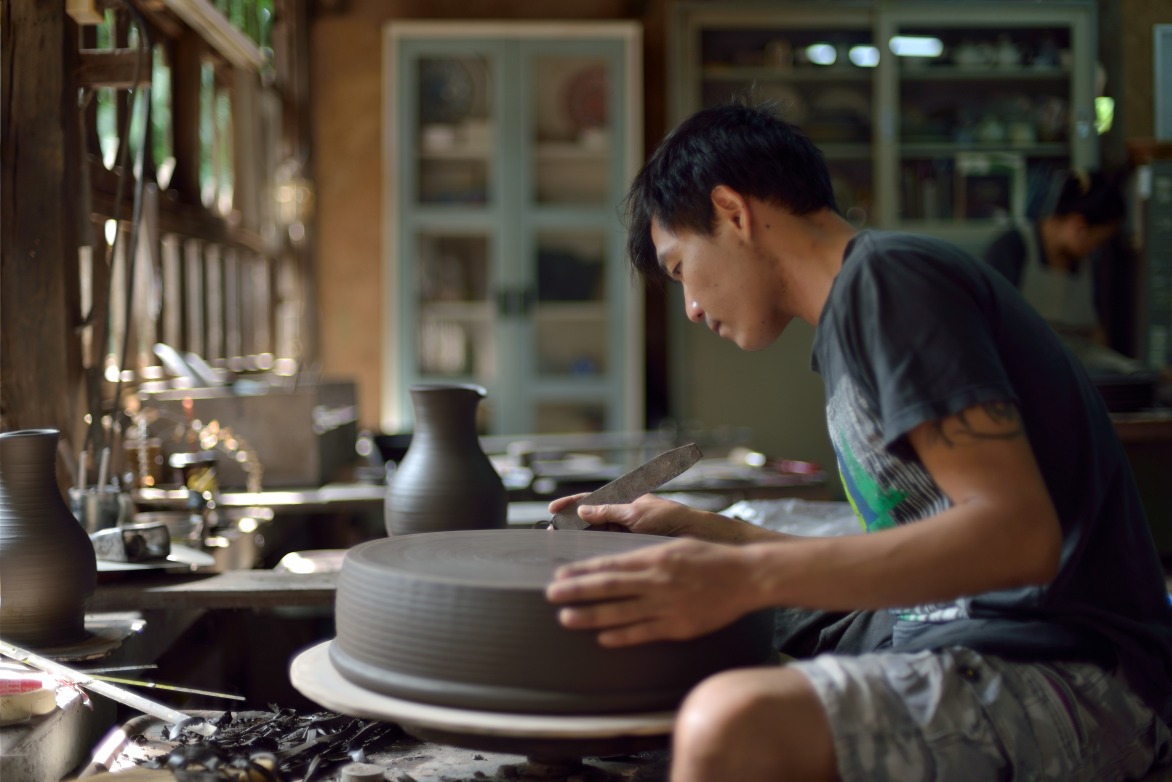
Doi Din Dang Pottery Studio
Located 12 km from Chiang Rai, ceramicist Somluk Pantiboon's Doi Din Dang studio preserves a craft blending Japanese traditions with northern Thai raw materials.
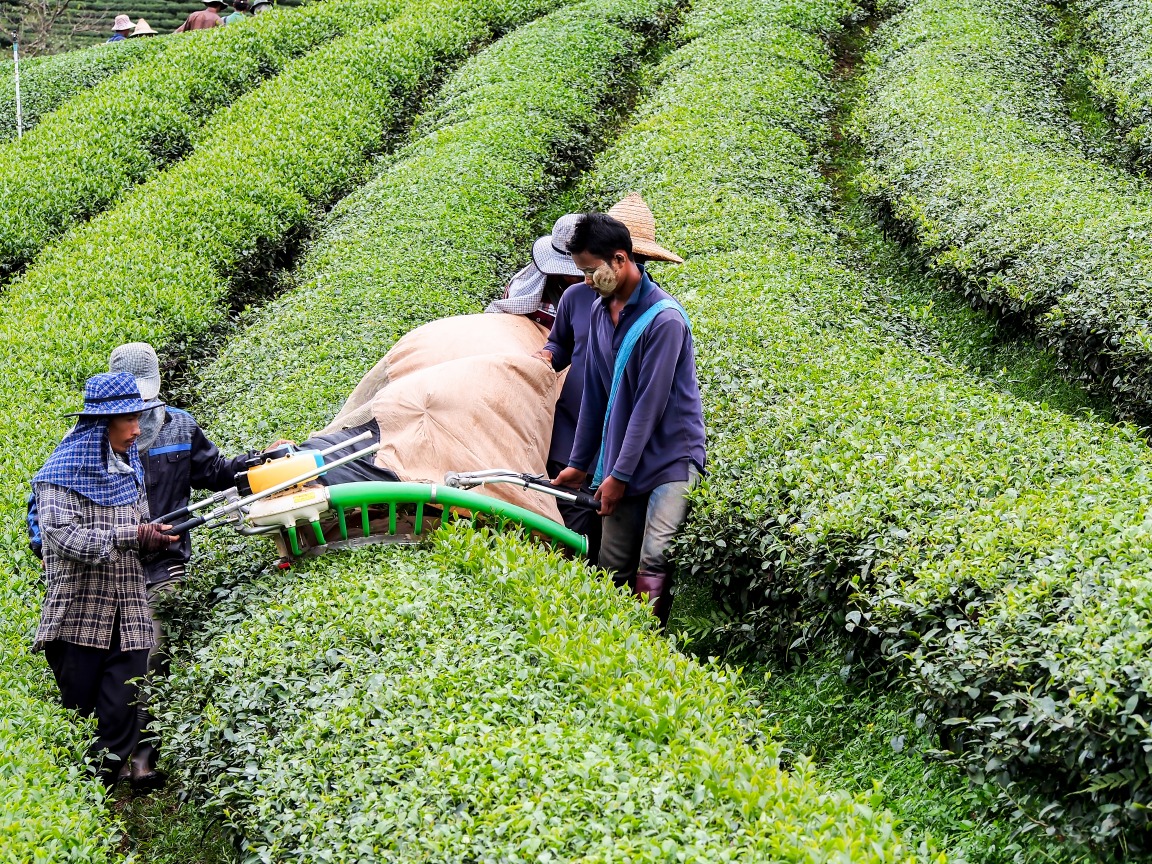
Mae Salong Tea Plantation
On the hills of Mae Salong, the 101 Tea Plantation produces renowned oolong teas. History, visit, tasting and access from Chiang Rai.
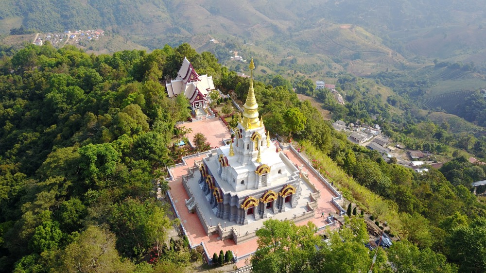
Santikhiri (Mae Salong)
Perched at 1,200 m in Chiang Rai province, Santikhiri (Mae Salong) blends Kuomintang Chinese heritage, Oolong tea plantations, and highland mountain tribes.
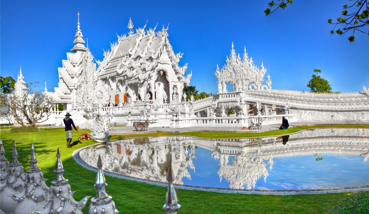
Wat Rong Khun
Chiang Rai's White Temple, a masterwork by Chalermchai Kositpipat, blends Lanna architecture, pristine white surfaces, and pop culture references within a complex of Buddhist art.
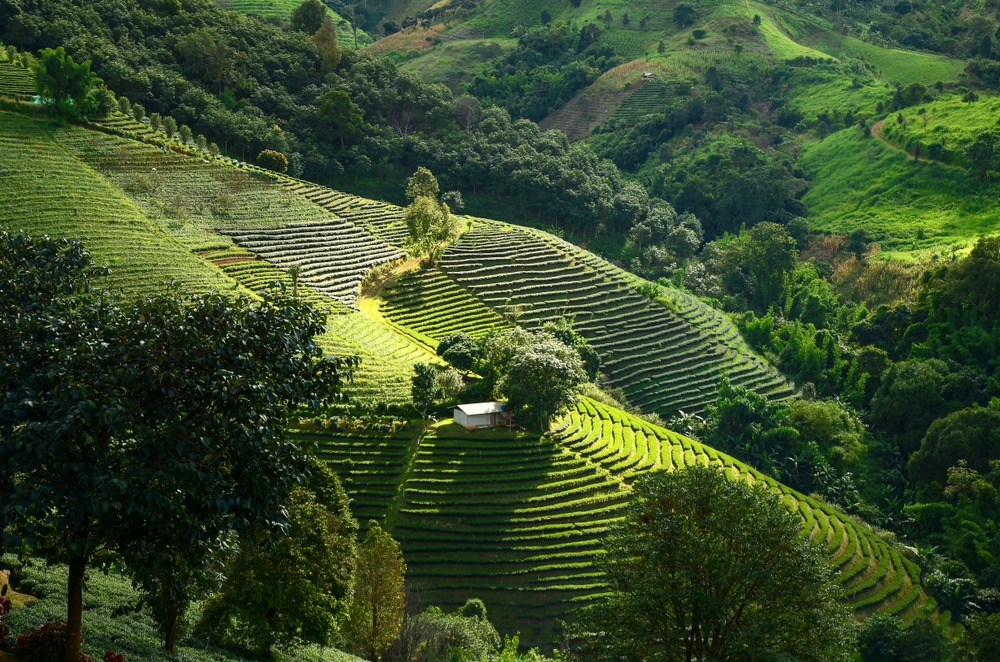
Doi Mae Salong Mountain
Some 60 km north of Chiang Rai, Doi Mae Salong combines tea plantations, Kuomintang Chinese heritage and hill tribe villages.
Ban Tham Pha Tong
A rural village in Chiang Rai province, 15 km from the city and its airport, Ban Tham Pha Tong serves as a peaceful base to explore northern Thailand.
Tha Ton
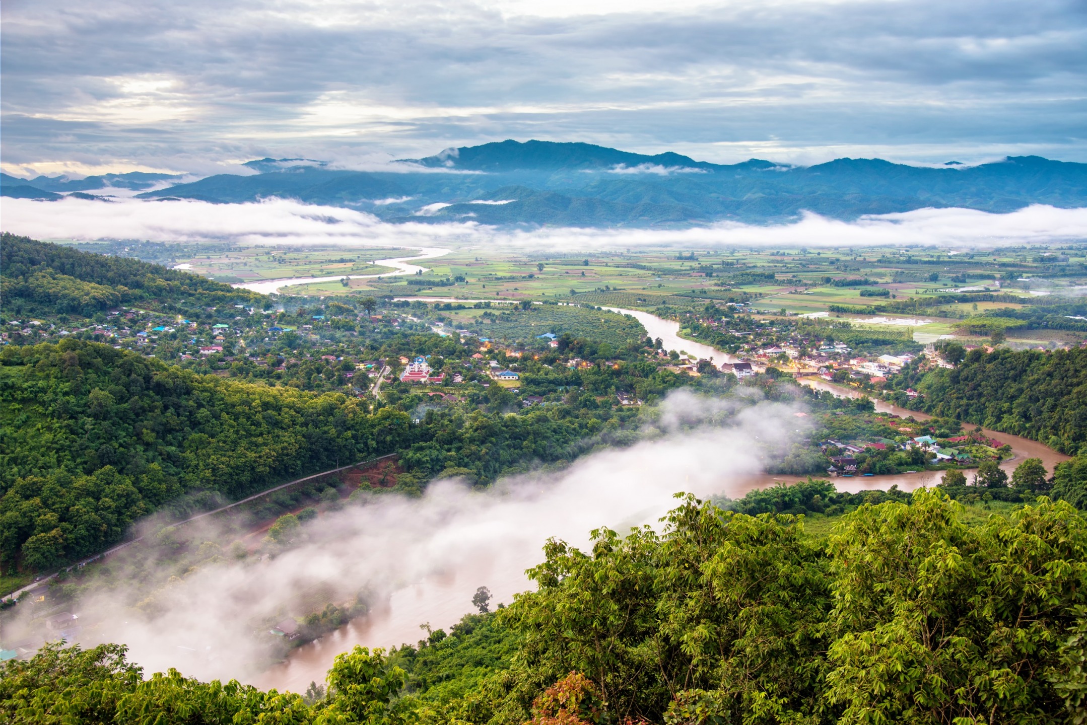
Just 3 hours from Chiang Mai, Tha Ton blends the Kok River, a 9-level temple, and ethnic villages. A key stop on any northern Thailand circuit.
Interested in this visit?
We can include it in your personalised itinerary.